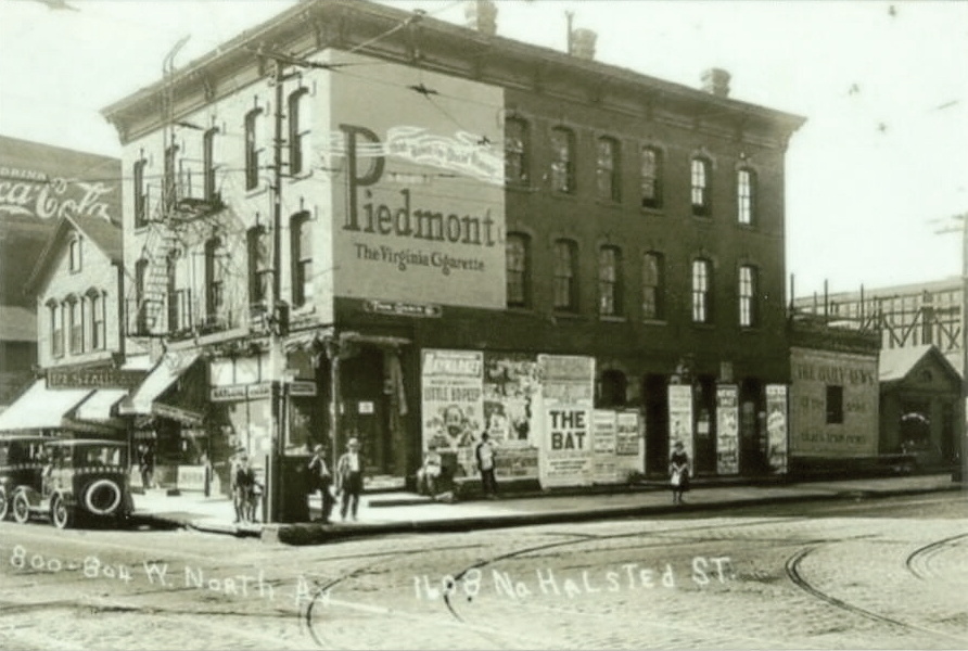
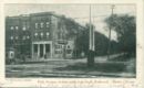
800 W. North Ave., 1608 N. Halsted St.

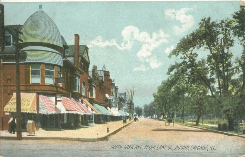
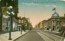
North Park Avenue, from Lake St, Austin c. 1909
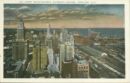
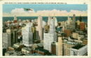
Northeast from the Board of Trade
Near North Side of Chicago
North Avenue West of Larrabee Street c. 1914

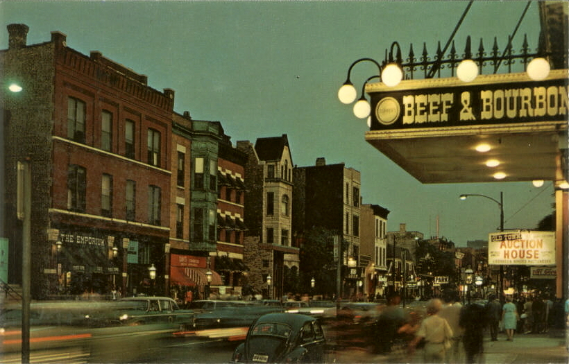
Old Town Neighborhood
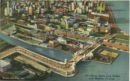
Outer Drive and Lincoln Park
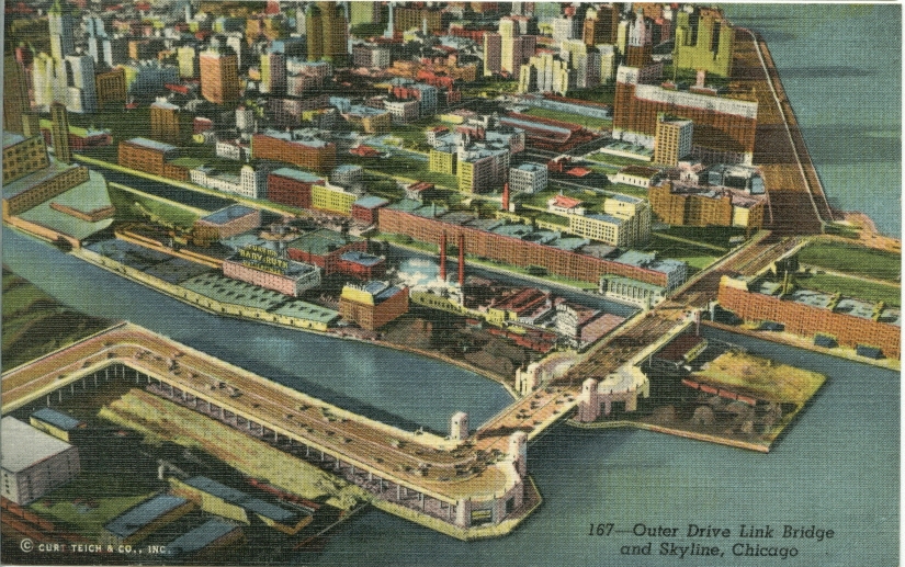
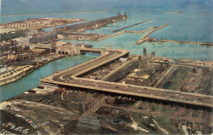
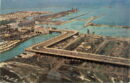
Outer Drive Link Bridge c. 1944
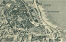
Outer Drive, old configuration
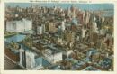
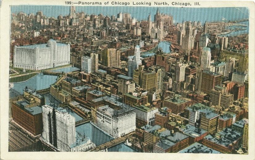
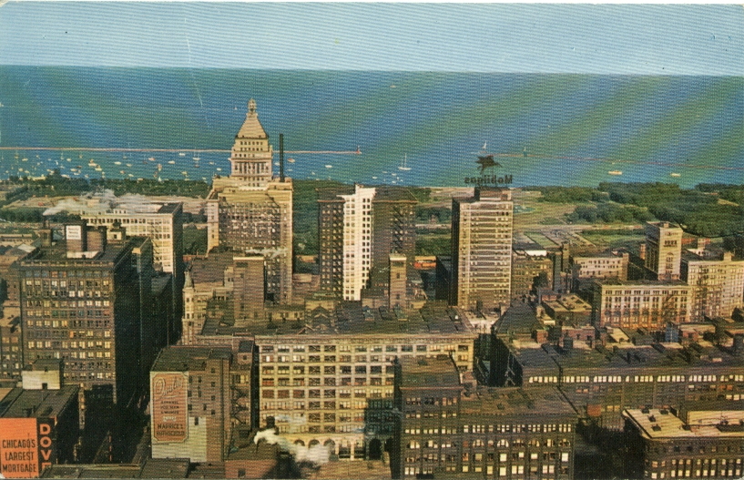
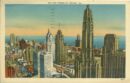
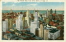
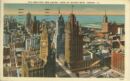
Panorama of Chicago
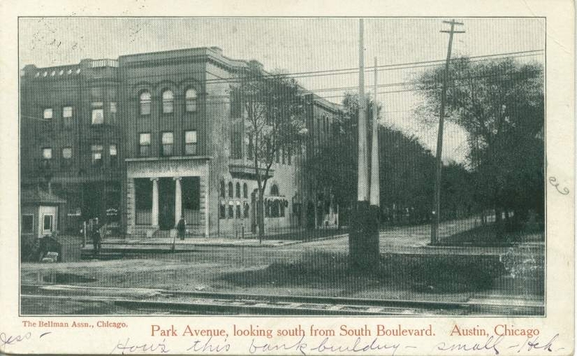
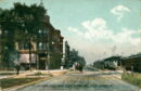
Park Avenue south from South Boulevard
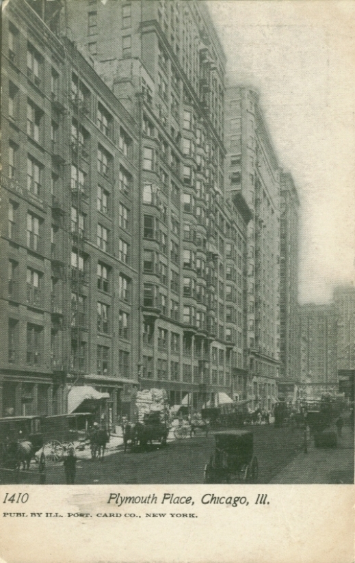
Plymouth Place
Quincy St. and post office, c.1908

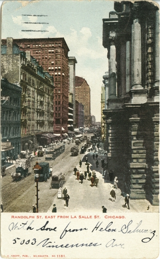
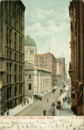
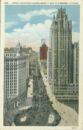
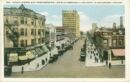
Randolph Street east from La Salle Street c. 1905
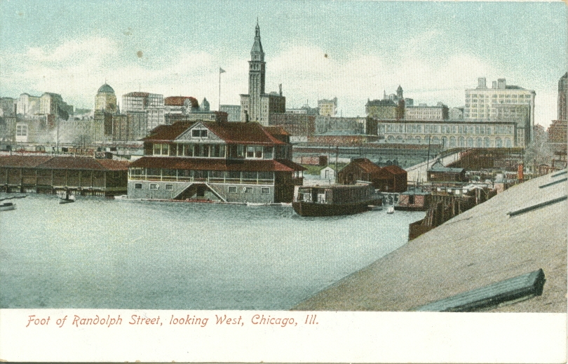
Foot of Randolph Street, looking west
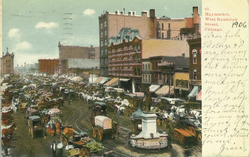
West Randolph and Haymarket
Rush Street
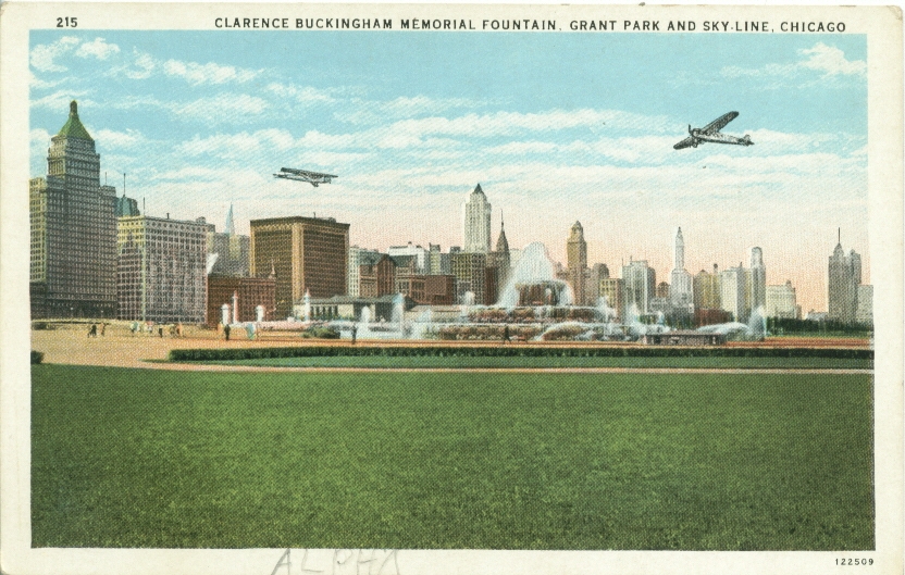
Skyline and Grant Park
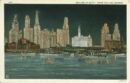
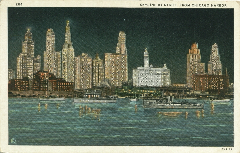
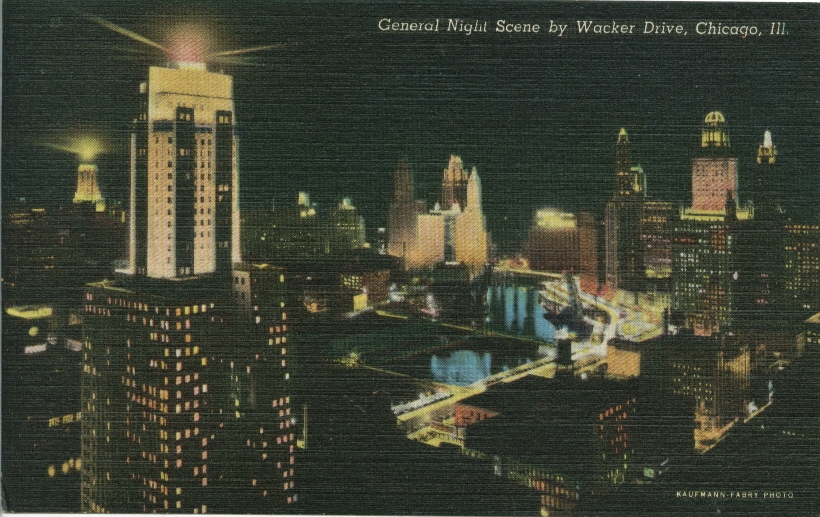
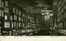
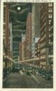
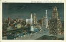
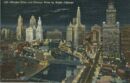
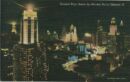
Skyline by night
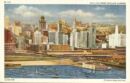
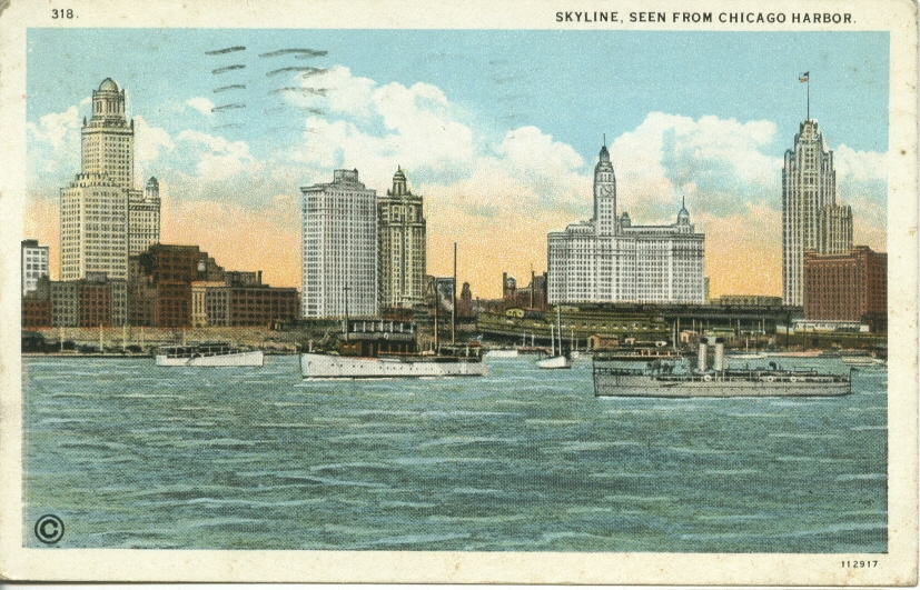
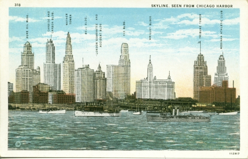
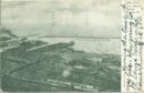
Skyline from Chicago Harbor
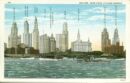
Skyline from the Harbor c. 1929
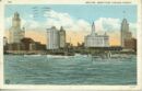
Skyline from the Harbor
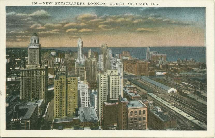
New Skyscrapers looking north
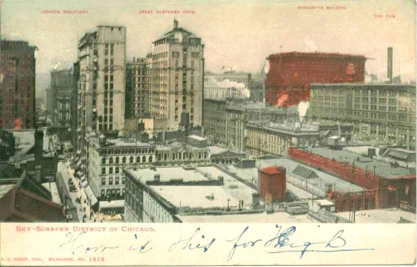
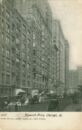
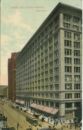
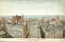
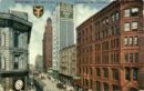
Sky Scraper District of Chicago c. 1906
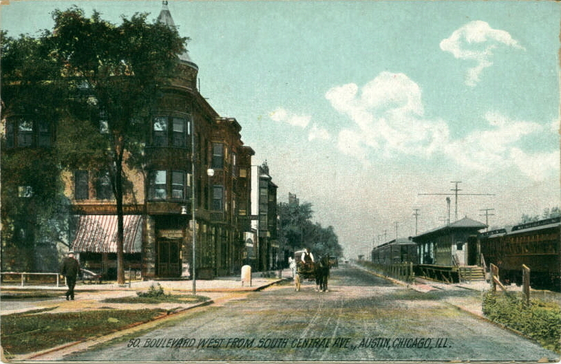
South Boulevard west from South Central Avenue, Austin
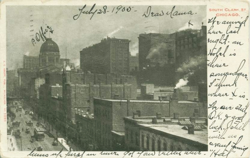
South Clark Street

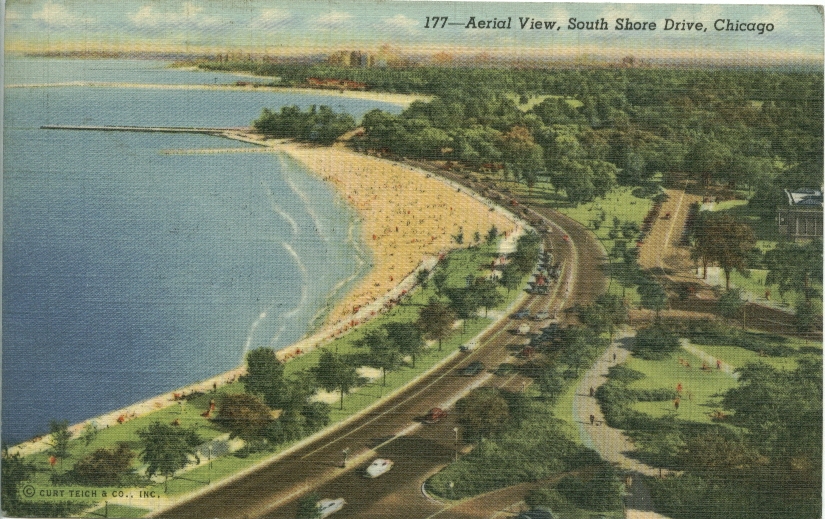
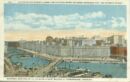
South Shore Drive
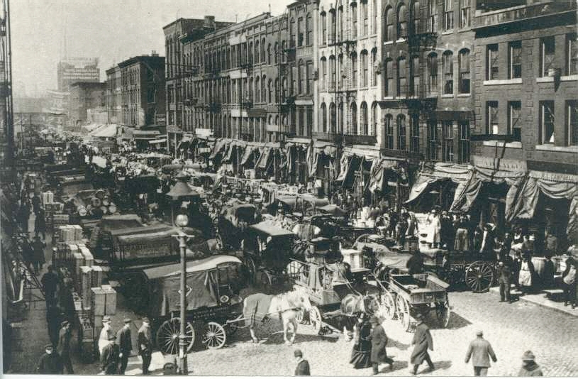
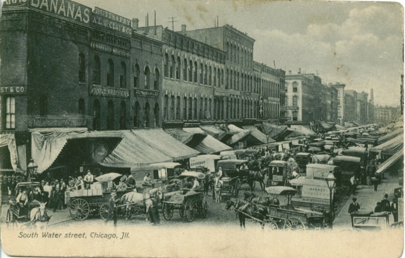
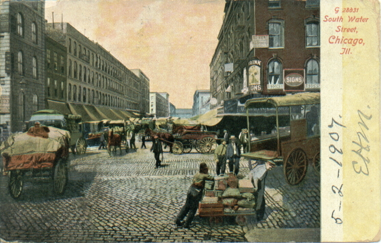
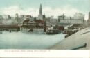
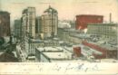
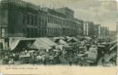
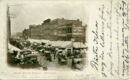
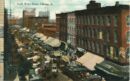
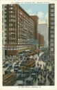
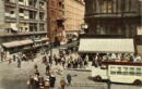
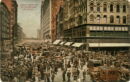
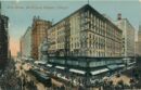
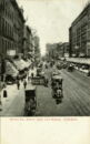
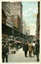
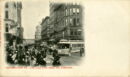
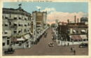
South Water Street
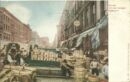
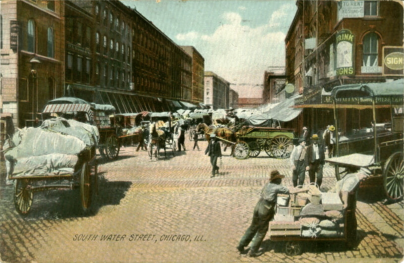
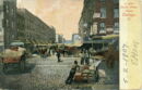
South Water Street c. 1910
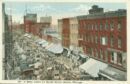
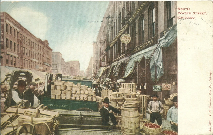
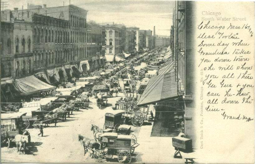
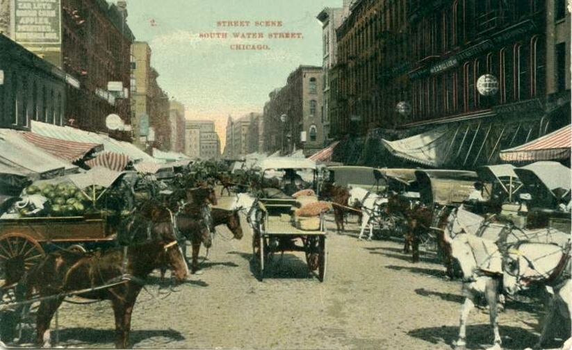
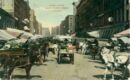
South Water Street
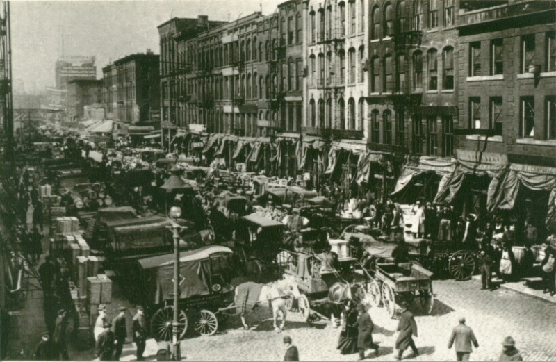
South Water Street along Chicago River c. 1926
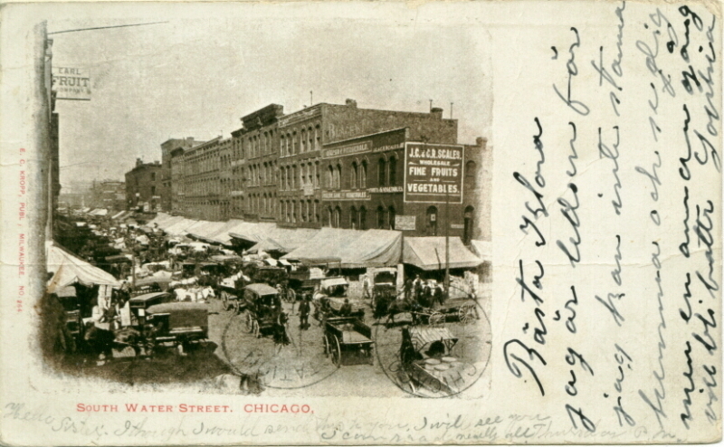
South Water Street
South Water Street
South Water Street c. 1906
South Water Street, c.1922

South Water Street
South Water Street c. 1903
South Water Street c. 1907

South Water Street, c. 1909
South Water Street
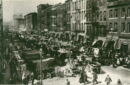
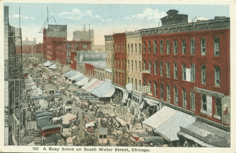
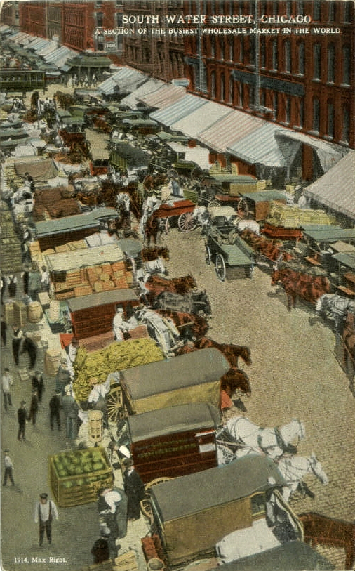
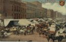
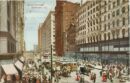
South Water Street Market c. 1910
South Water Street c. 1909
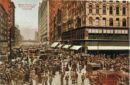
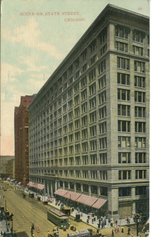
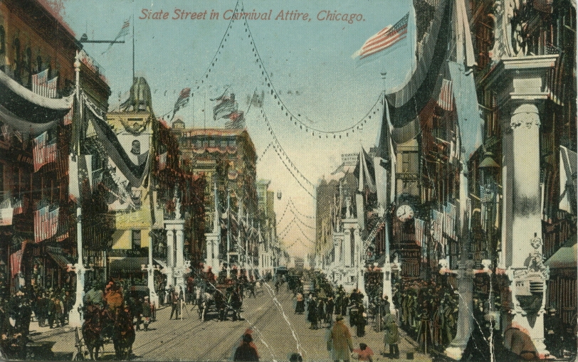
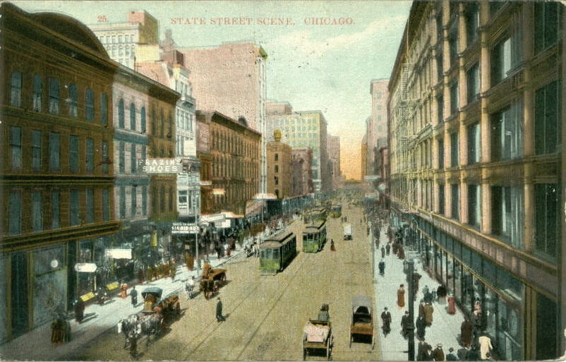
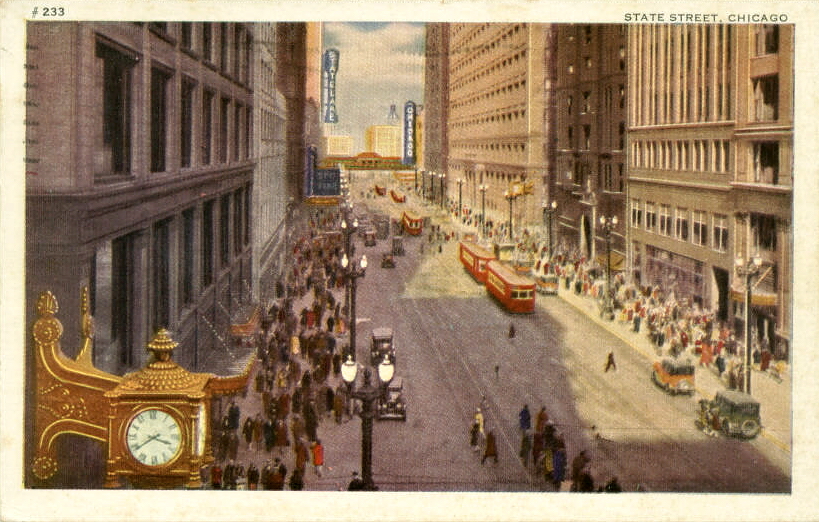
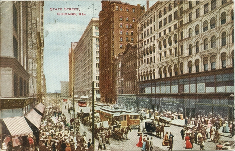
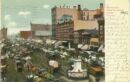
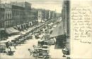
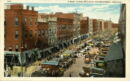
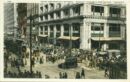
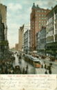
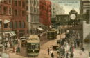
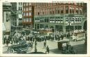
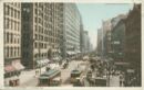
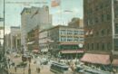
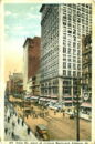
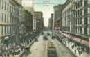
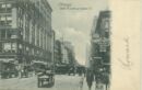
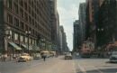
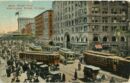
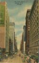
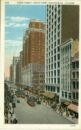
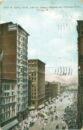
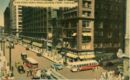
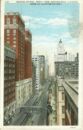
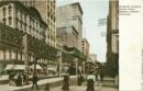
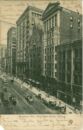
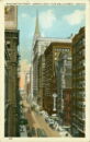
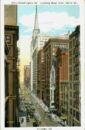
State Street

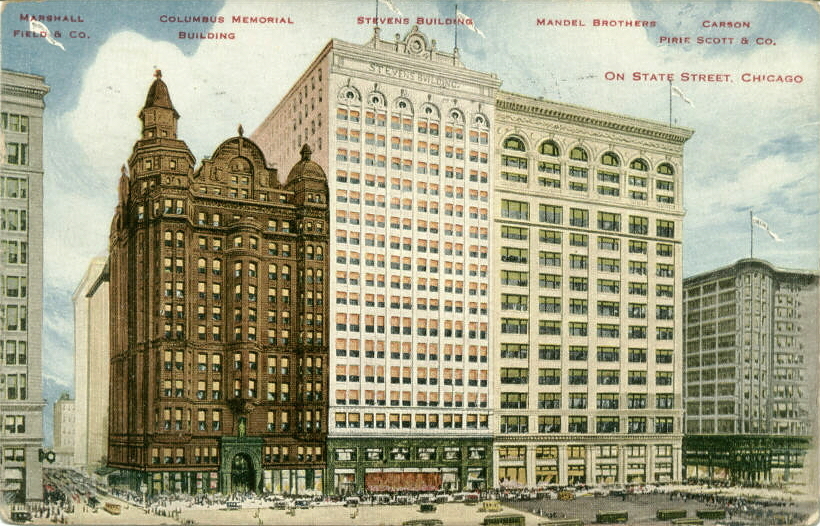
State St. Buildings, c. 1917
State Street c. 1910
State Street north from Madison c. 1922
State Street north of Madison, c.1907
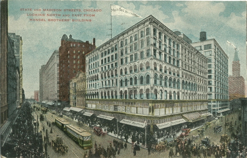
State & Madison Sts
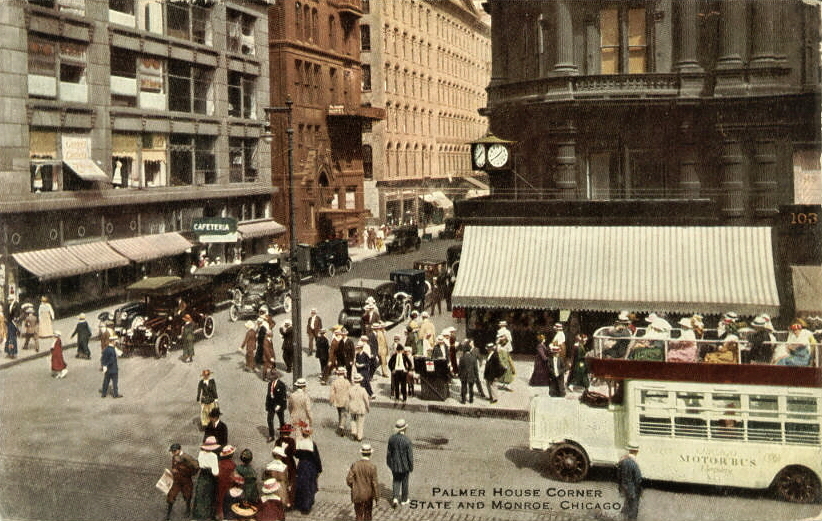
State & Monroe
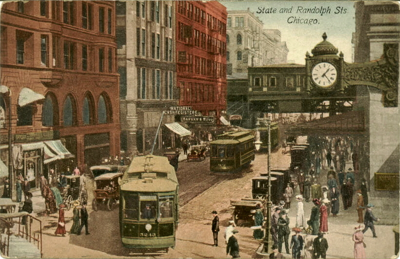
State & Randolph
State and Randolph
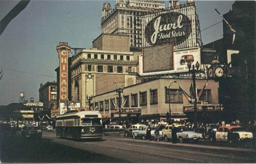
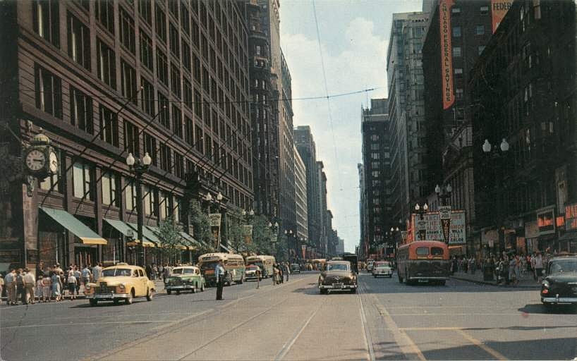
State & Randolph Sts c. 1953
State & Madison Sts c. 1908
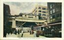
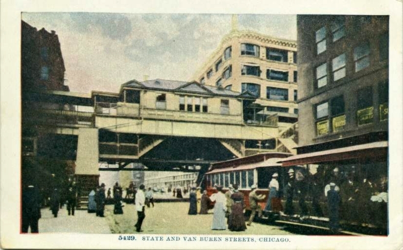
State and Van Buren Sts. El Station
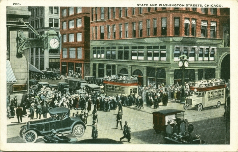
State & Washington Sts
State Street north from Adams
State Street
State Street c. 1912
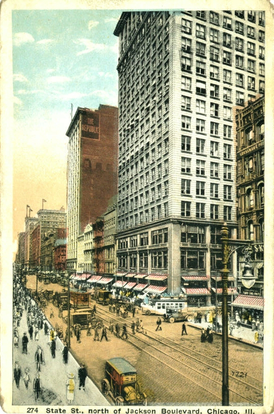
State Street north from Jackson Boulevard
State Street north from Jackson Blvd, c.1922
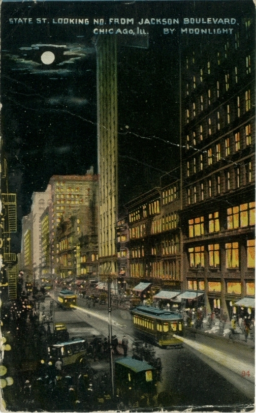
State Street north from Jackson Boulevard c. 1916

State St., Frazins Shoes, c.1909
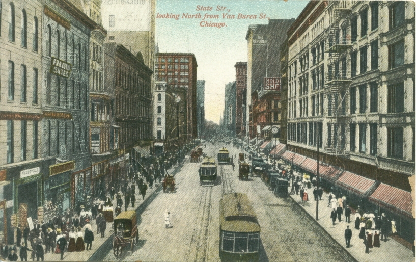
State Street north from Van Buren c. 1909
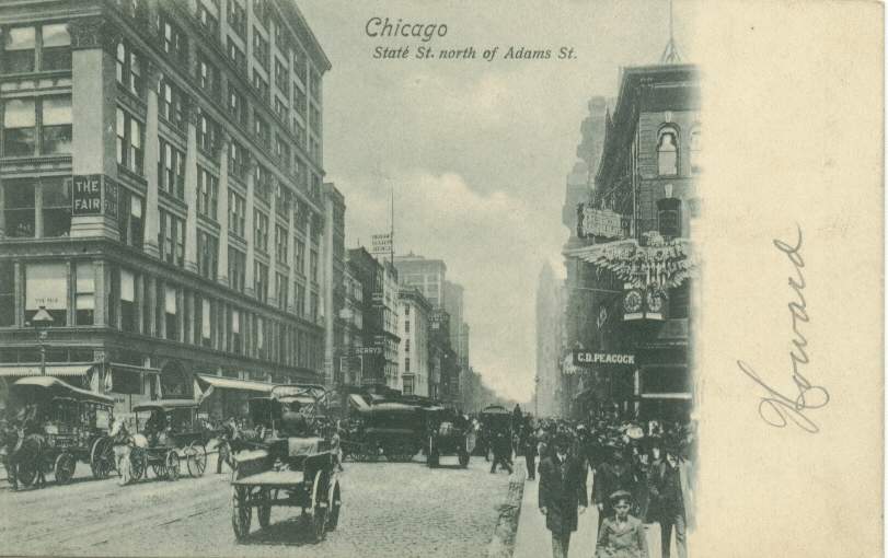
State Street north of Adams
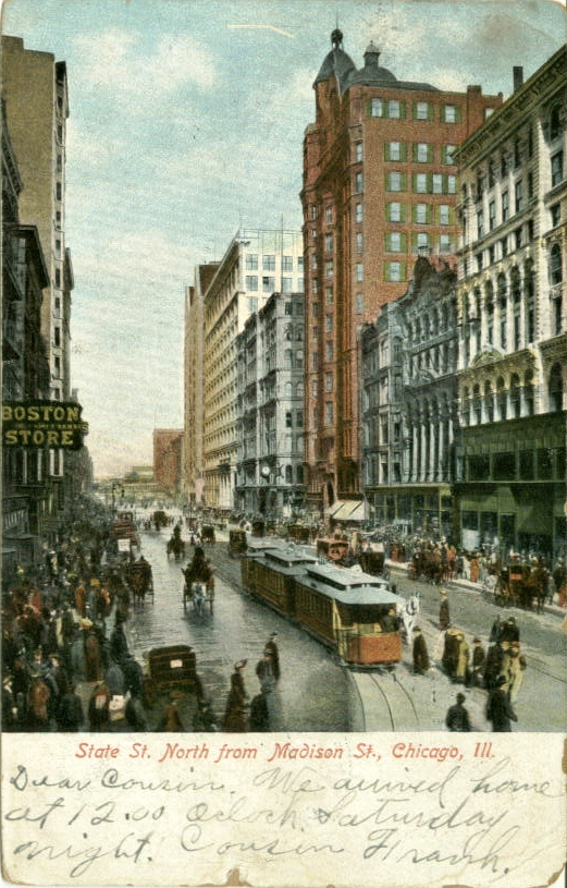
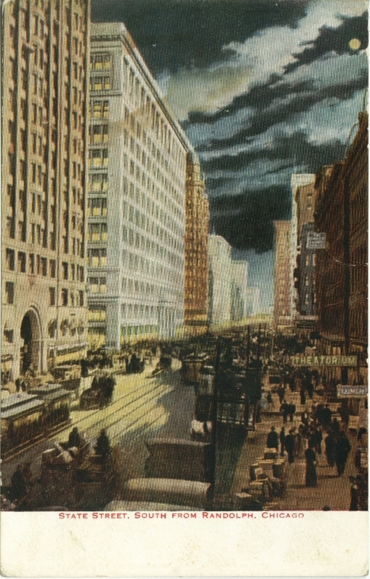
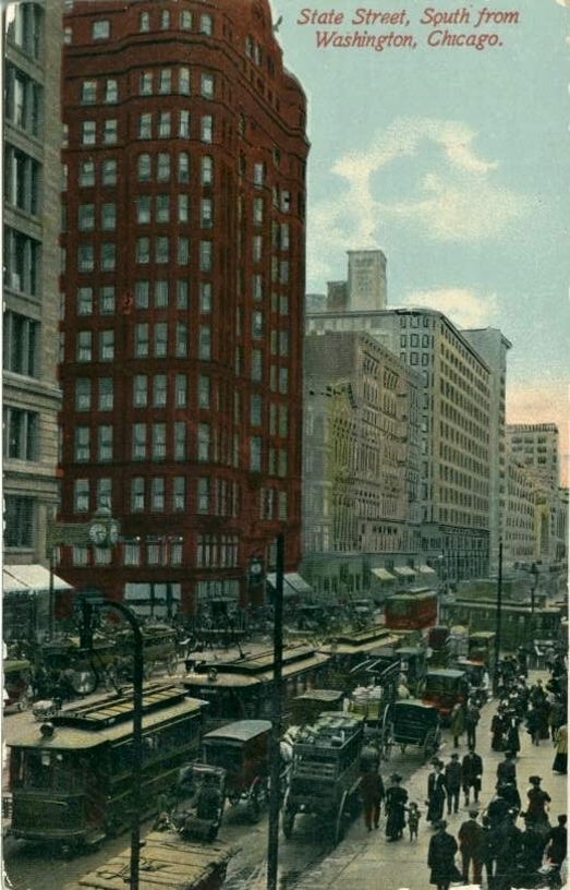
State Street south from Randolph
State Street south from Randolph
State Street & Bridge c. 1916
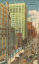
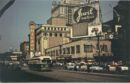
State Street c. 1954
State Street, showing State & Lake Theatre
State Street c. 1910
State Street
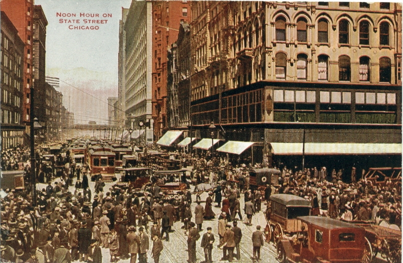
State Street noon hour, c.1917
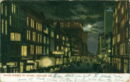
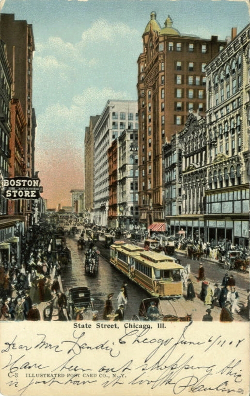
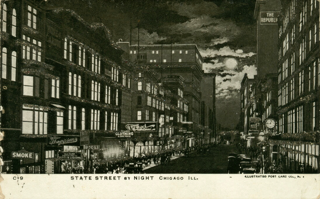
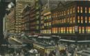
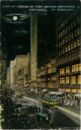
State Street by night c.1909
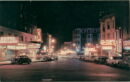
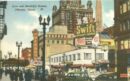
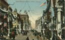
State Street by night, (note store names)
State Street from Washington Street c. 1936
State Street looking north c. 1934
State Street north from Jackson
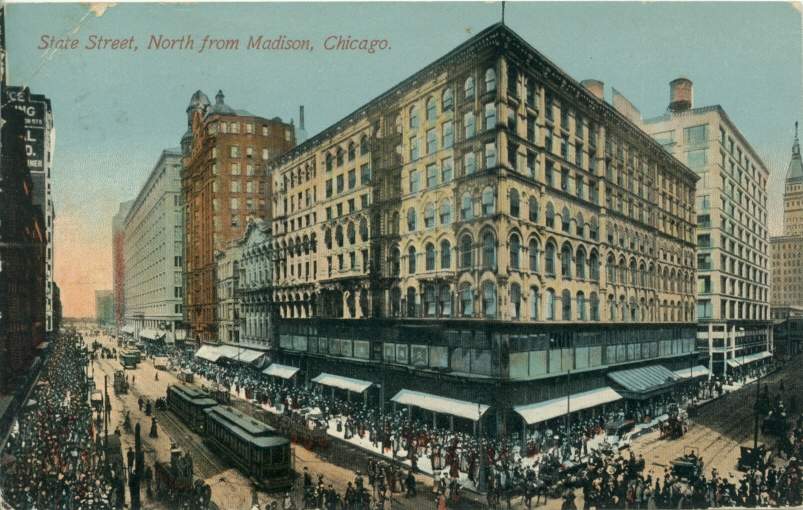
State Street north from Madison
State Street looking north between Madison and Washington c.1908
State Street north from Monroe
State Street north from Van Buren

State Street south from Washington
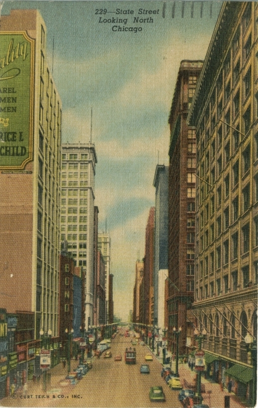
State Street looking north
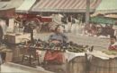
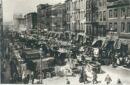
Street Store in the Ghetto
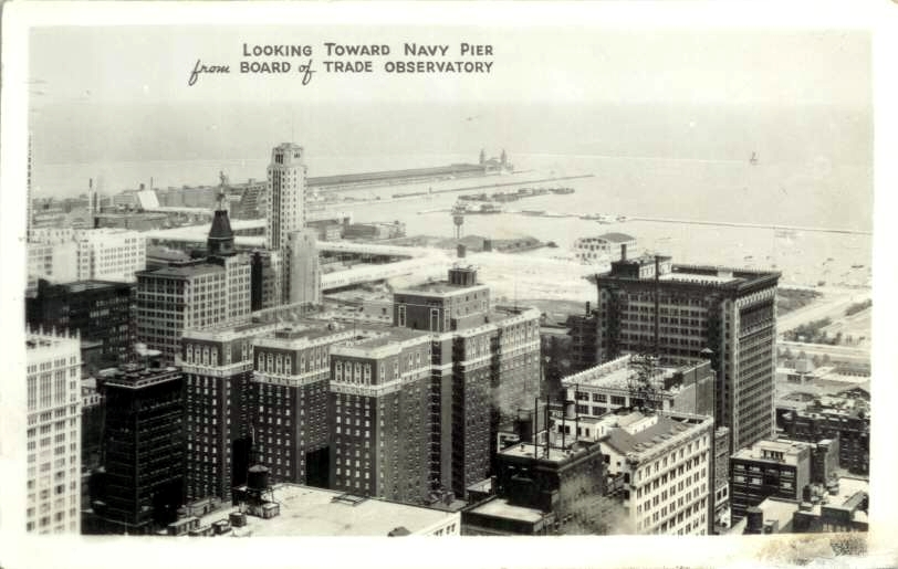
Towards Navy Pier from Board of Trade
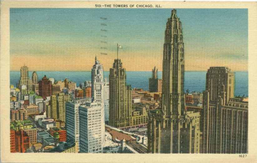
Towers of Chicago c. 1942
Upper Michigan Avenue from the Bridge c. 1934
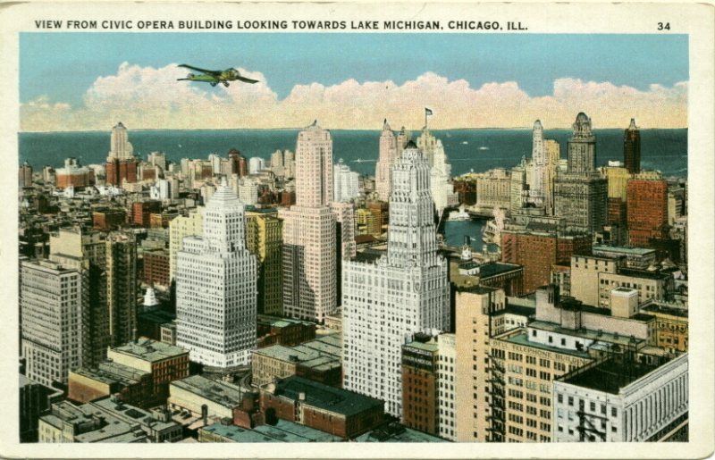
View from Civic Opera towards Lake Michigan
North East from Civic Opera, c.1936

View towards the Lake
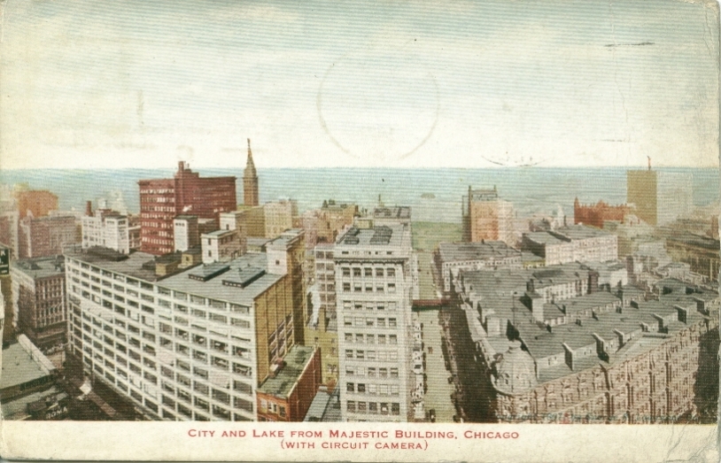
View from Majestic Building c. 1912
View from Masonic Temple c. 1905
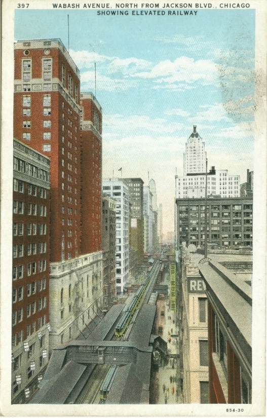
Wabash Avenue north from Jackson
Wabash Avenue
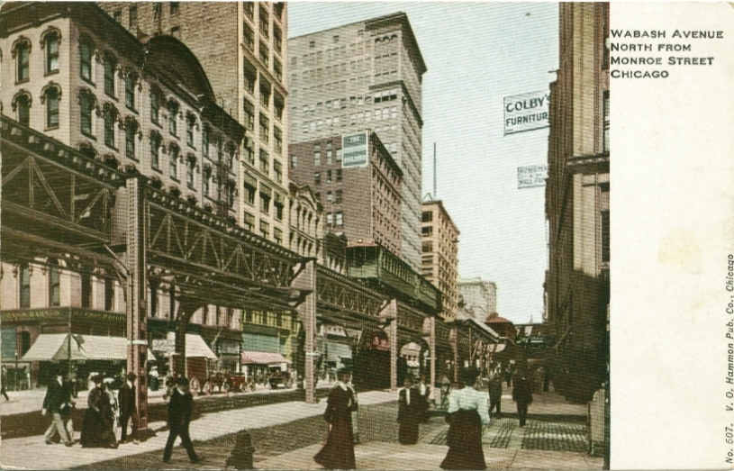
Wabash Avenue north from Monroe c. 1909
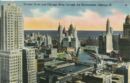
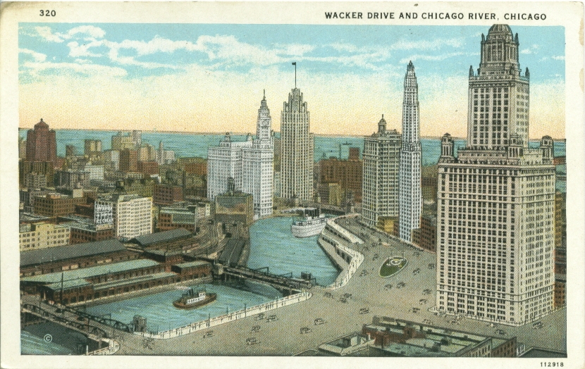
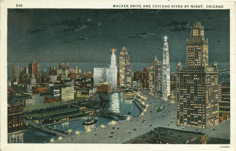
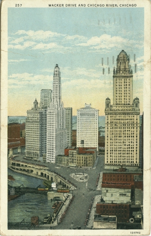
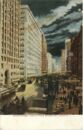
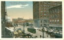
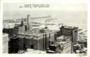
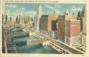
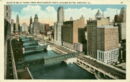
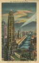
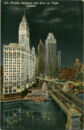
Wacker Drive and Chicago River
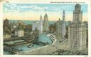
Wacker Drive and Chicago River

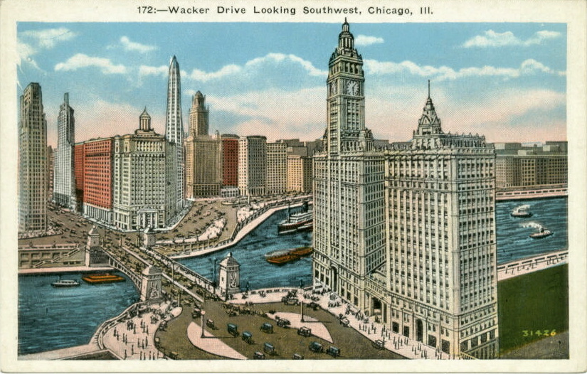
Wacker Drive looking SW
Wacker Drive and Chicago River c. 1929
Wacker Drive c. 1939
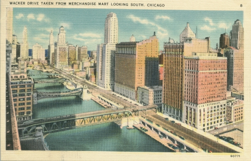
Wacker Drive from the Merchandise Mart
Wacker Drive and Chicago River c. 1950
Wacker Drive scene

Wacker Drive and the River c. 1934

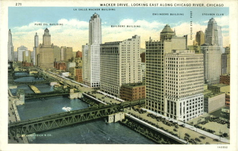
Wacker Drive looking east along Chicago River, c.1933
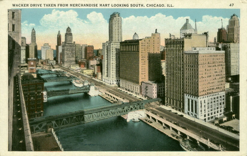
Wacker Drive looking south from Merchandise Mart
West on Wacker Drive c.1941
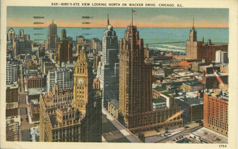
Looking north on Wacker Drive
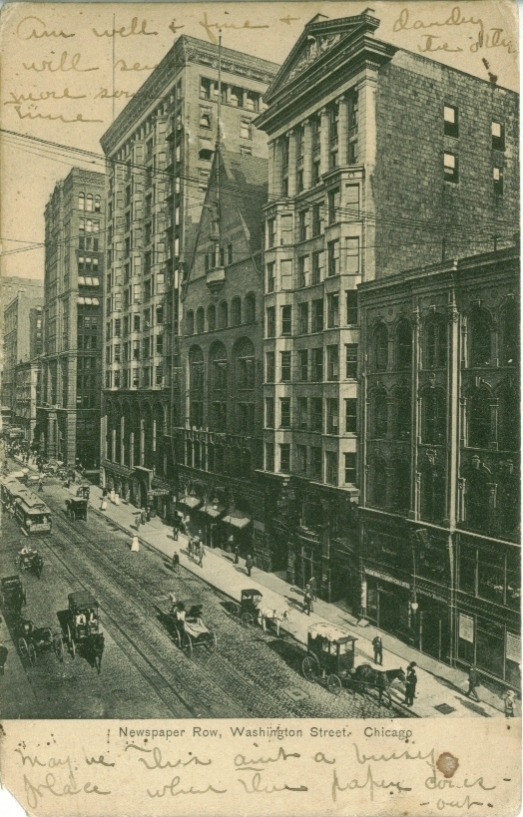
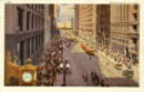
Washington Street c. 1906
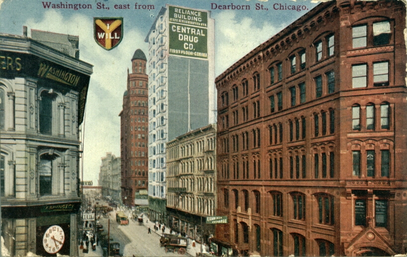
Washington Street east from Dearborn Street
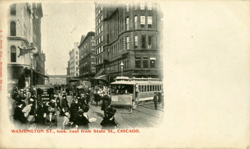
Washington Street looking east from State Street
Washington St. , looking east from Wells St., c.1925
Washington St., looking east from Wells St.
Wilson Avenue east from Broadway
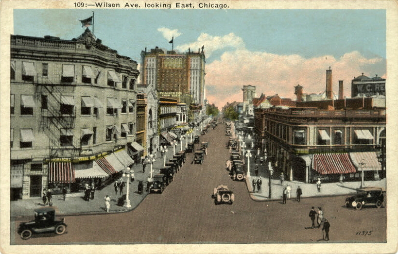
Wilson Avenue looking east
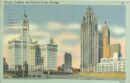
Wrigley & Tribune Towers
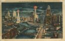
Wrigley Buildings and River by night c.1947