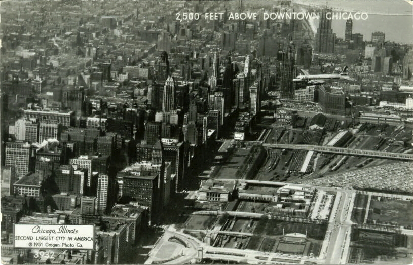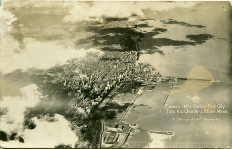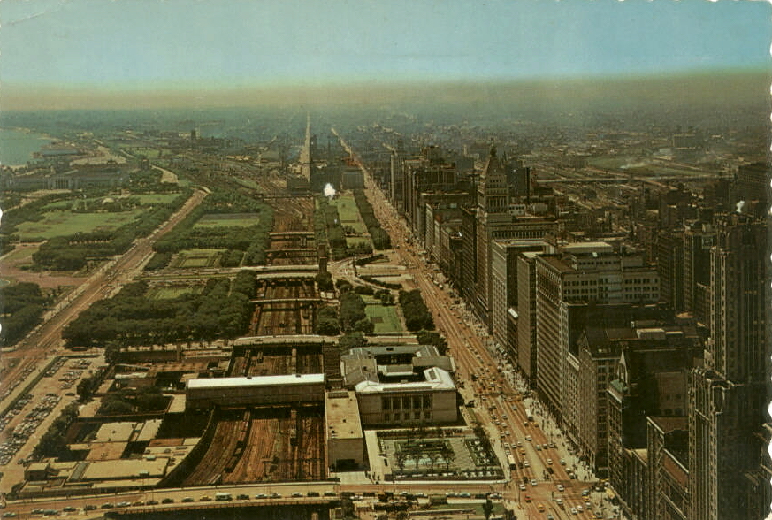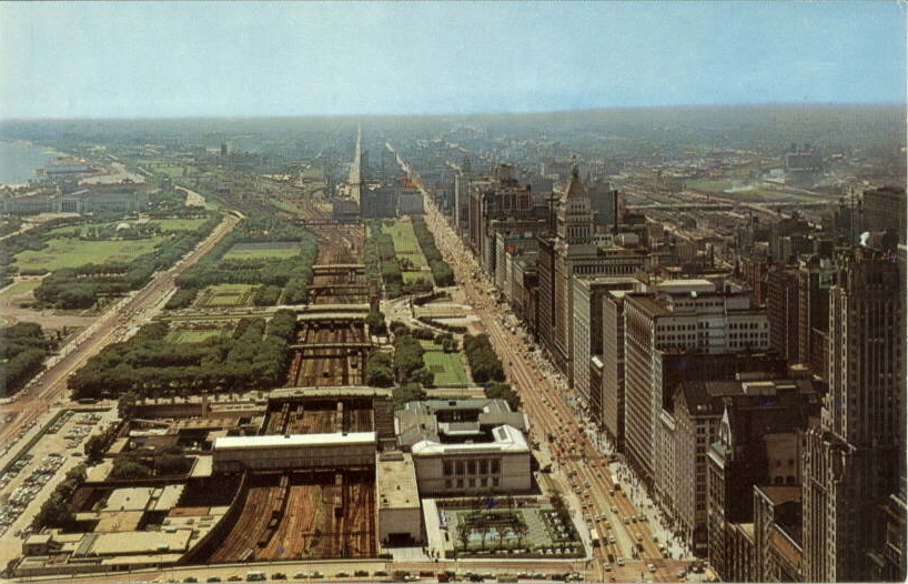
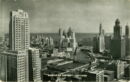
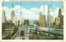
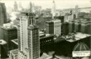
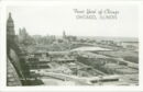
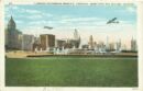
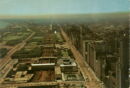
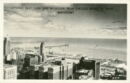
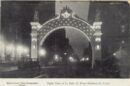
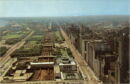
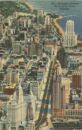
2500 feet above downtown Chicago
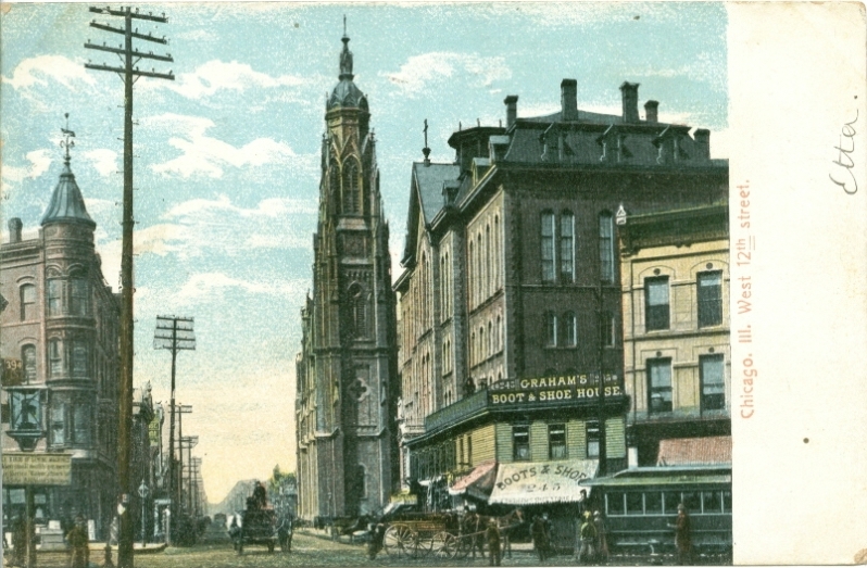
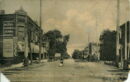
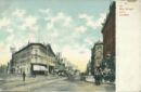
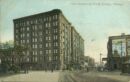
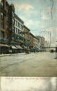
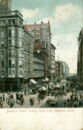
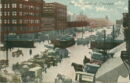
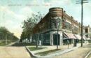
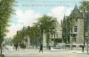
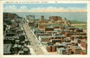
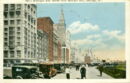
West 12th Street c. 1907
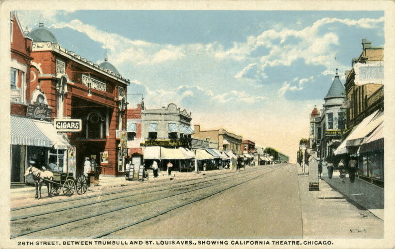
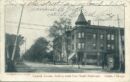
26th St. between Trumbull and St. Louis Aves.

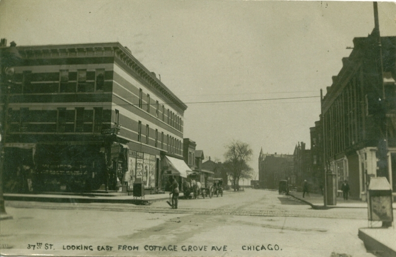
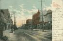
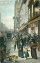
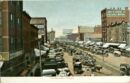
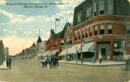
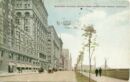
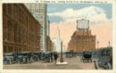
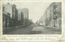
37th Street east from Cottage Grove Avenue c. 1908
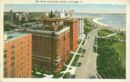
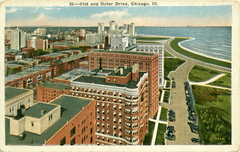
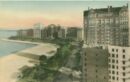
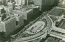
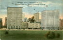
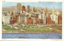
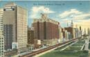
51st & Outer Drive
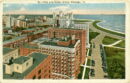
51st and Outer Drive
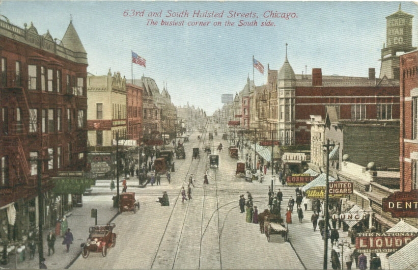
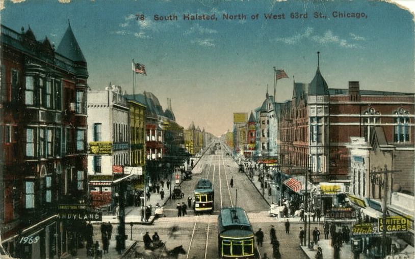
63rd and South Halsted Streets
63rd & Cottage Grove Avenue
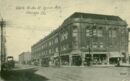
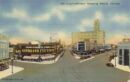
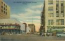
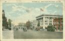
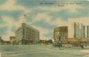
71st Street Business District
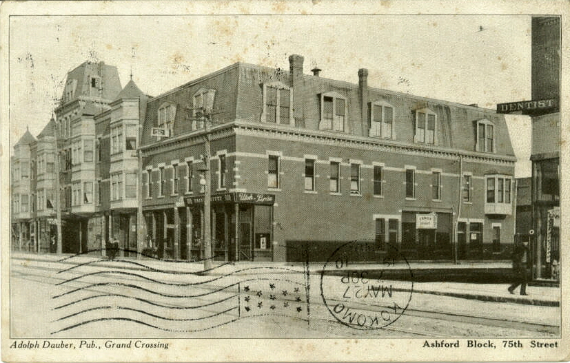
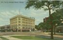
Ashford Block & 75th St
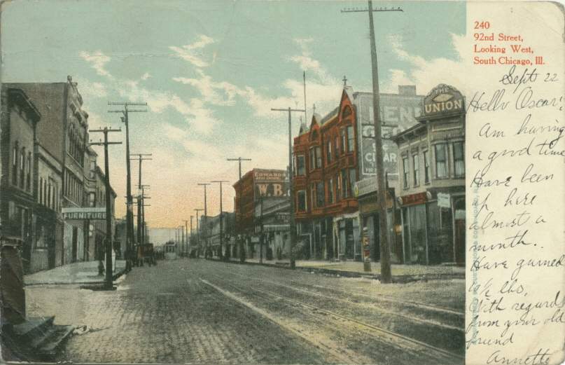
92nd Street looking west, in South Chicago
103rd Street east from Rock Island tracks, in Washington Heights c. 1908

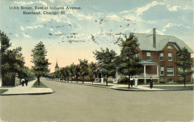
113th St, east of Indiana Ave.
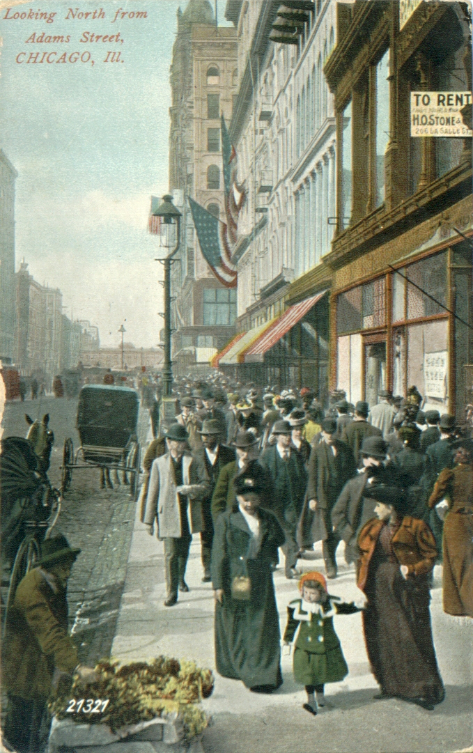
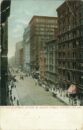
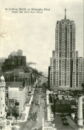
Looking north from Adams Street c. 1908
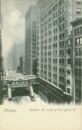
Adams Street looking east from State Street
Aerial View, Civic Opera Building
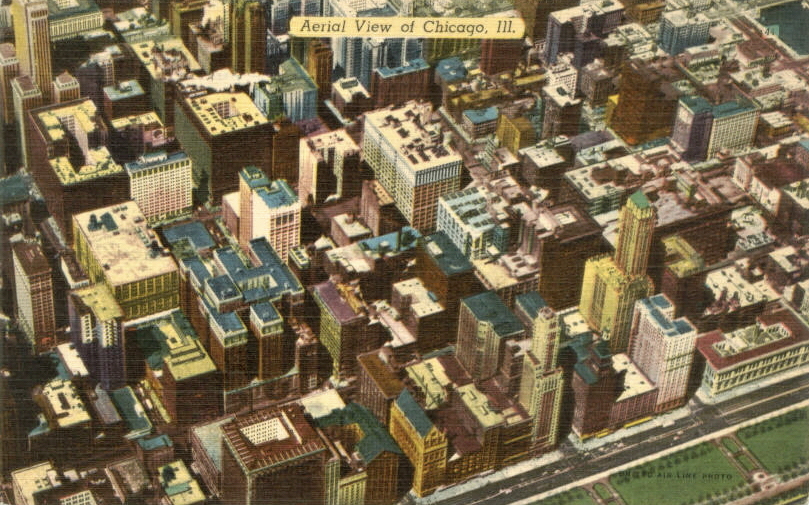
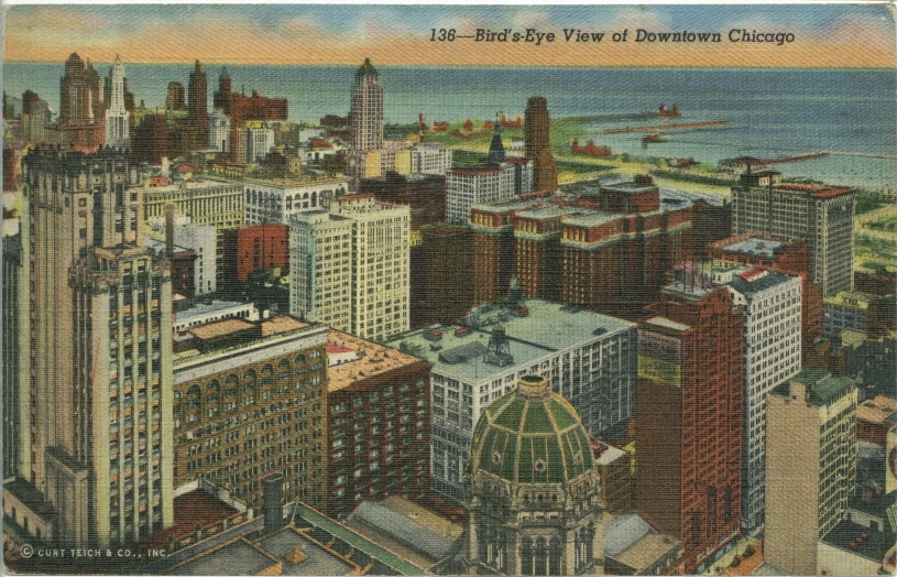
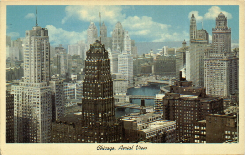
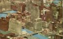
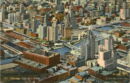
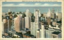
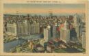
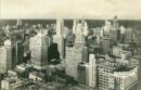
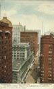
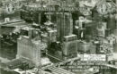
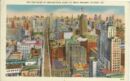
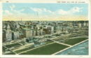
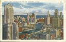
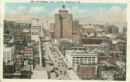
Aerial View of Chicago
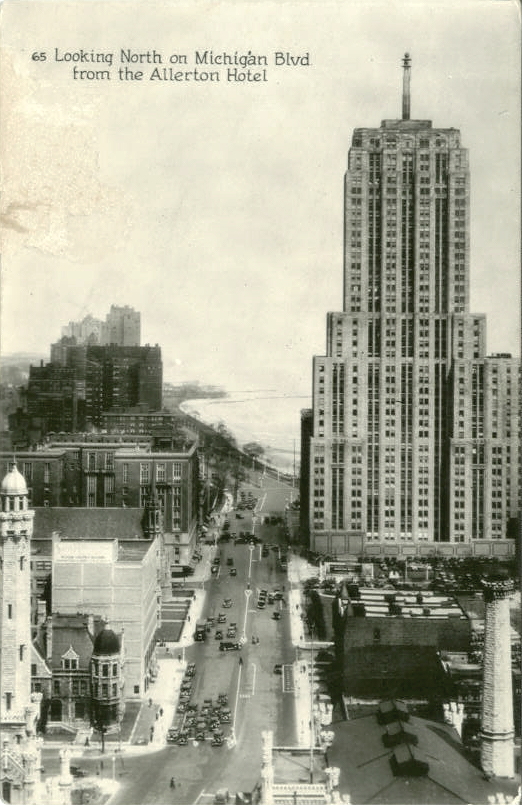
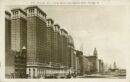
Aerial view, showing Allerton Hotel
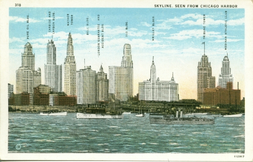
Bell Building and Skyline
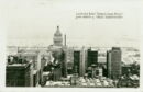
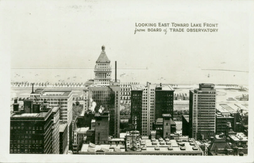
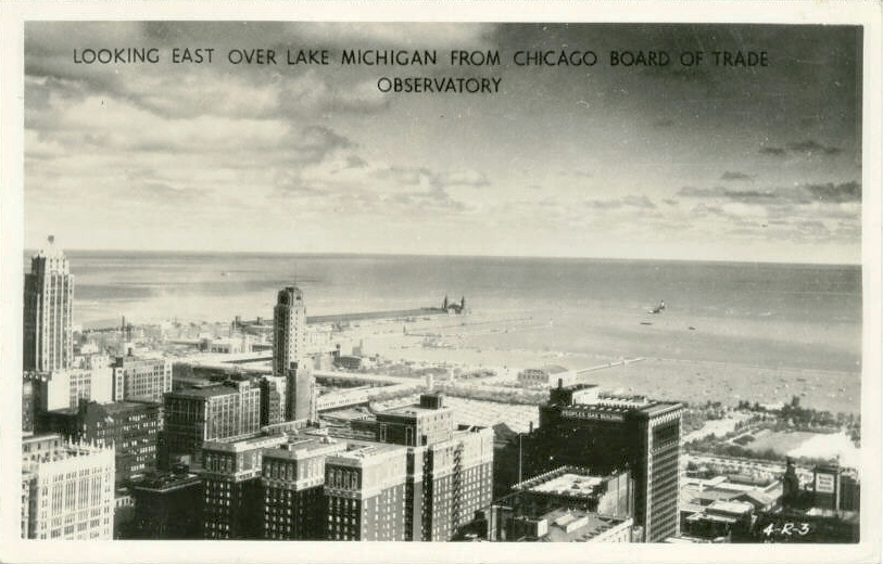
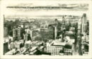
Looking east toward lakefront from Board of Trade Building c.1945
Aerial View of Chicago
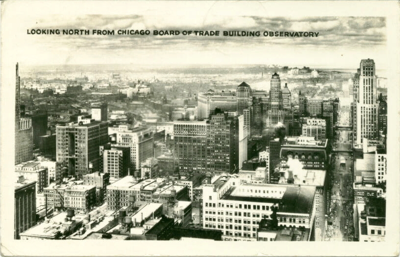
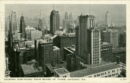
Looking north from the Chicago Board of Trade Building, c.1946
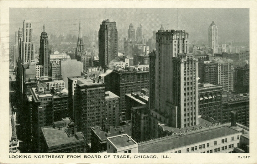
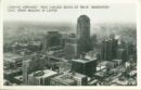
Looking NE from Board of Trade, c.1936
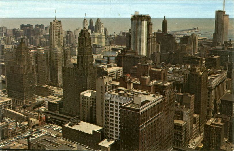
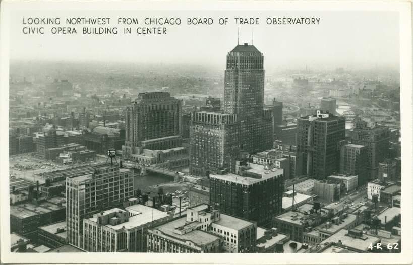
View northwest from Board of Trade
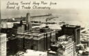
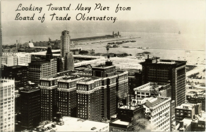
Looking toward Navy Pier from Board of Trade
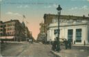
Blue Island Avenue
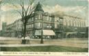
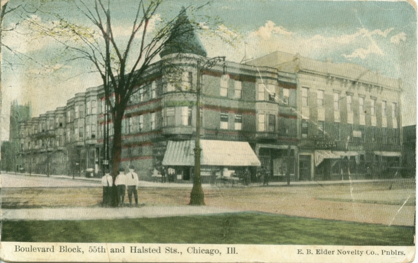
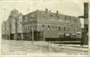
Boulevard Block, 55th & Halsted Sts. c. 1908
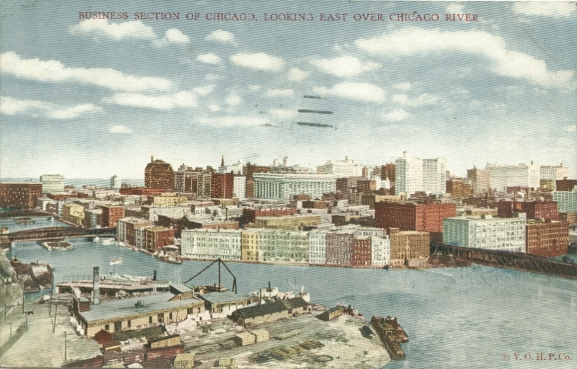
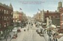
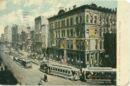
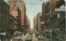
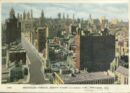
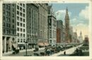
Chicago Business Section, looking east c. 1909
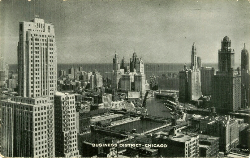
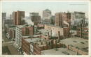
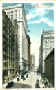
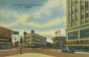
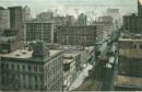
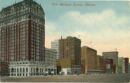
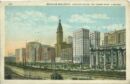
Business District
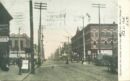
Central Avenue, south from South Boulevard c. 1908
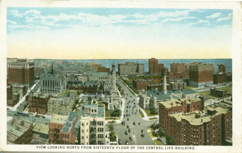
North from Central Life Building c. 1925
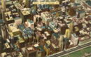
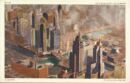
Chicago Aerial photo
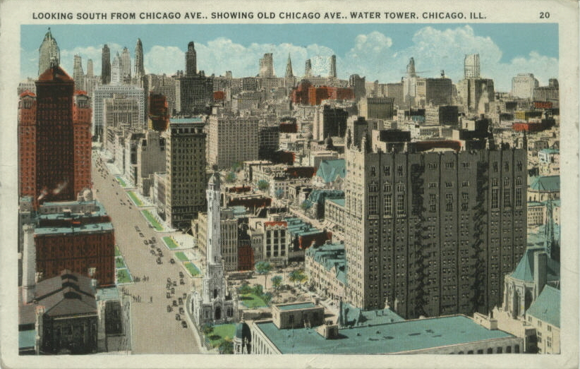
Looking south from Chicago Ave., c.1938
Chicago Aerial Map
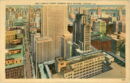
Chicago, City Of Towers
View of Chicago
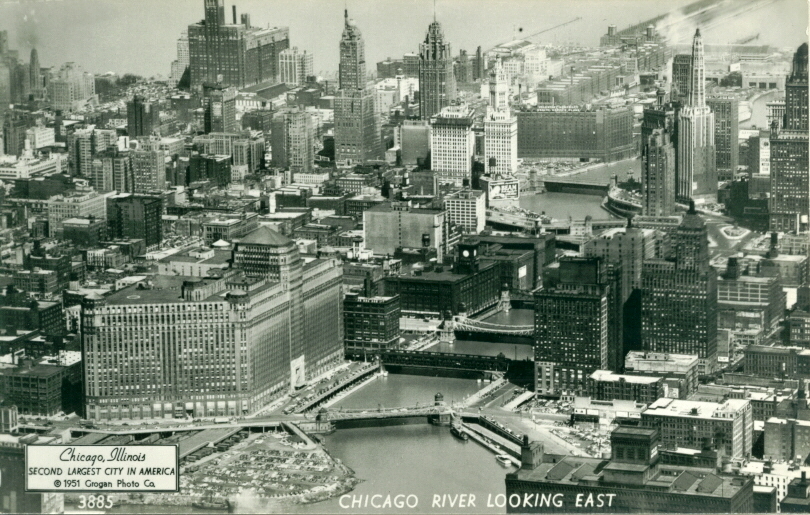
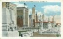
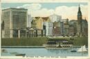
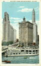
Chicago River looking east
View of Chicago River
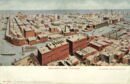
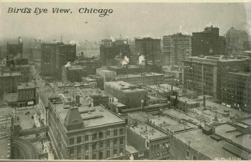
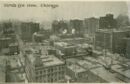
Bird's - eye view
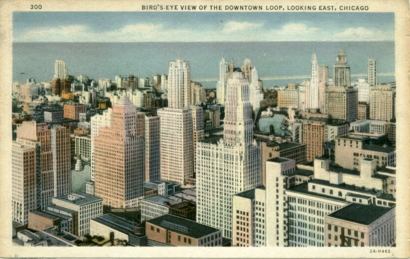
Downtown Loop, looking east
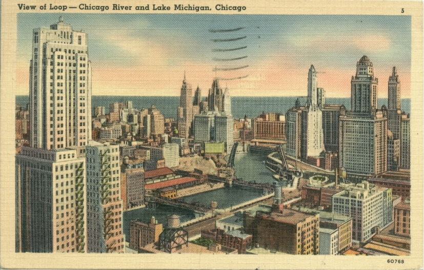
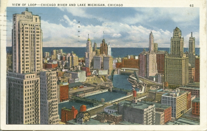
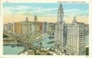
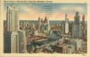
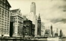
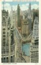
Chicago River and the Loop
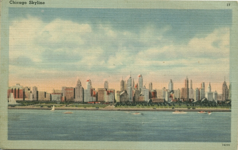
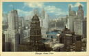
Chicago Skyline c. 1958
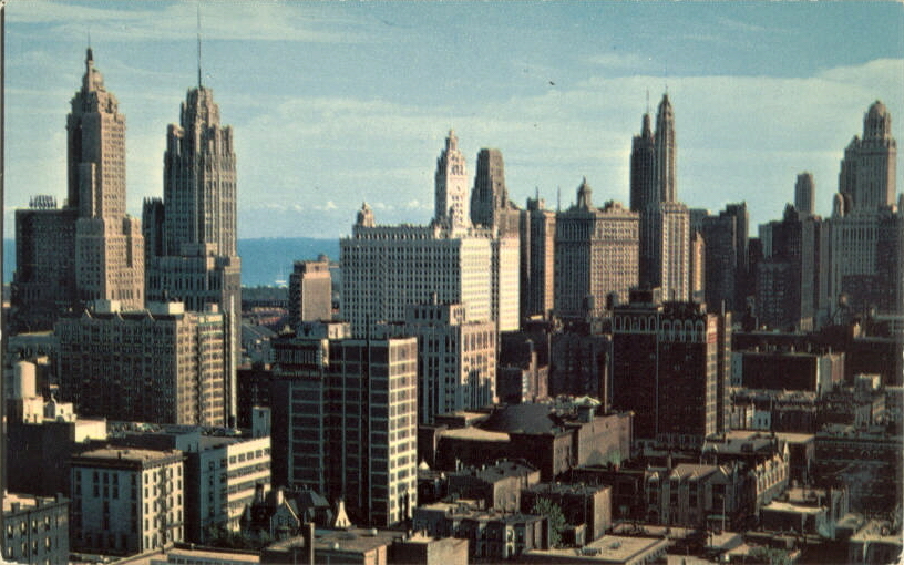
Chicago Skyline c. 1945
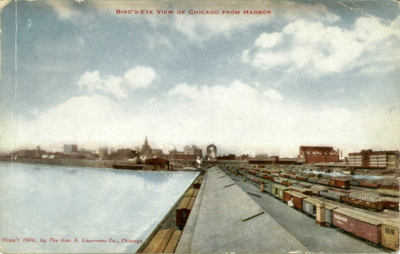
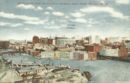
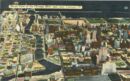
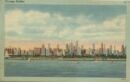
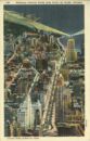
Birds Eye View From Harbor
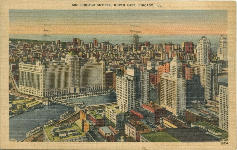
Chicago Skyline, Northeast
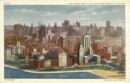
Chicago Skyscrapers
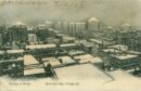
Chicago in Winter c. 1908
City of Towers
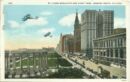
Cityward from Grant Park c. 1912
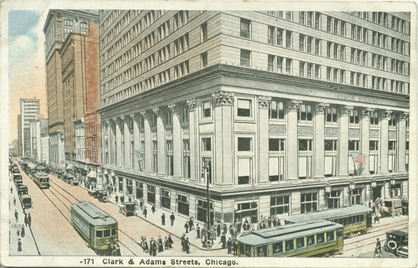
Clark and Adams Sts.
North Clark Street between Washington and Randolph
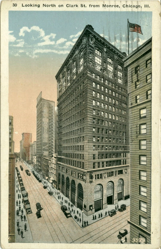
Looking north on Clark Street from Monroe, c.1921
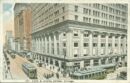
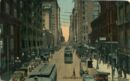
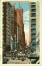
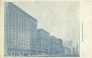
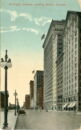
South Clark Street c. 1905
Clark Street and North Avenue c. 1913
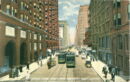
Clark Street looking north
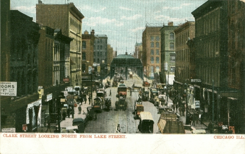
Clark Street north from Lake Street
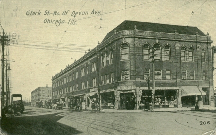
Clark St north of Devon Avenue c. 1911
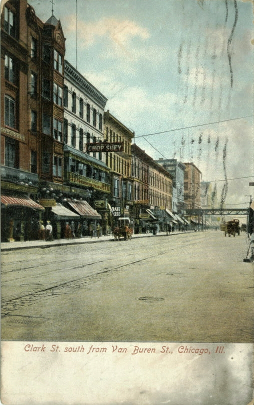
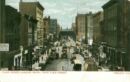
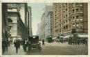
Clark St south from Van Buren St., c.1909
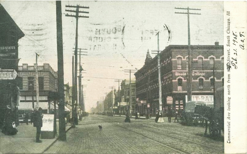
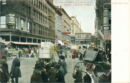
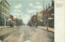
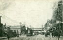
Commercial Avenue north from 92nd Street c. 1908
Commercial Avenue north c. 1907
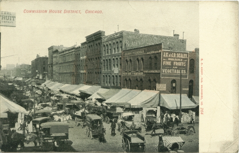
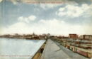
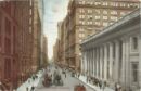
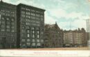
Commission House District
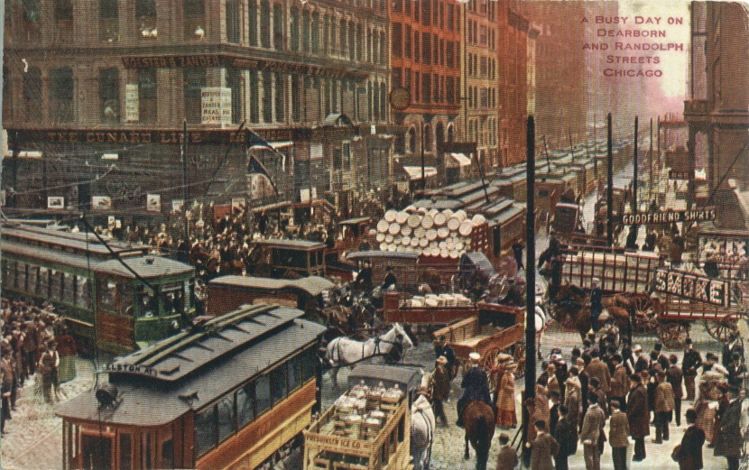
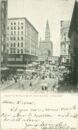
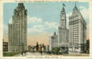
Dearborn & Randolph Sts. c. 1910
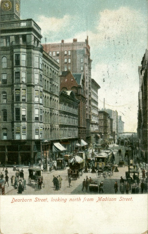
Dearborn St. looking north from Madison
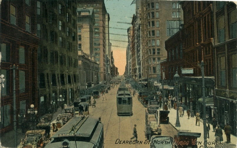
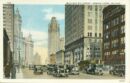
Dearborn Street north from Van Buren c. 1912
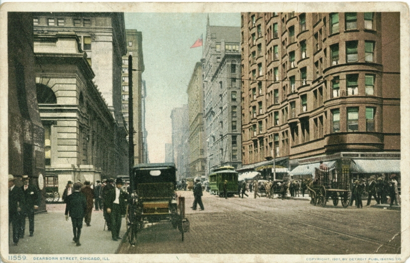
Dearborn Street
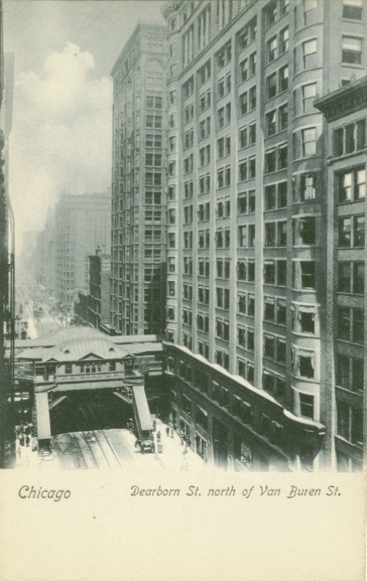
Dearborn Street north of Van Buren
Dearborn Street north from Jackson c. 1911
Dearborn Street north from Van Buren
Dearborn Street north of Madison Street c. 1905
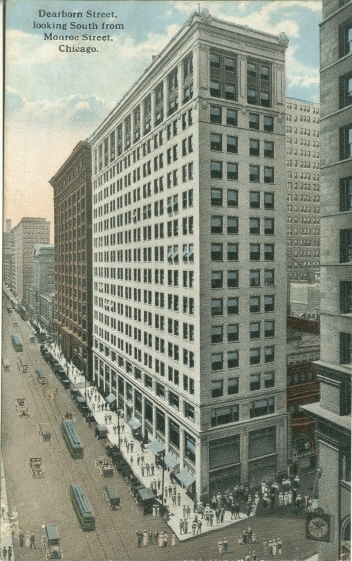
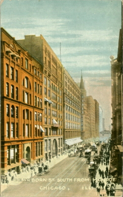
Dearborn Street south from Monroe Street
Dearborn Street south from Monroe Street
Dearborn Street north from Van Buren c. 1913
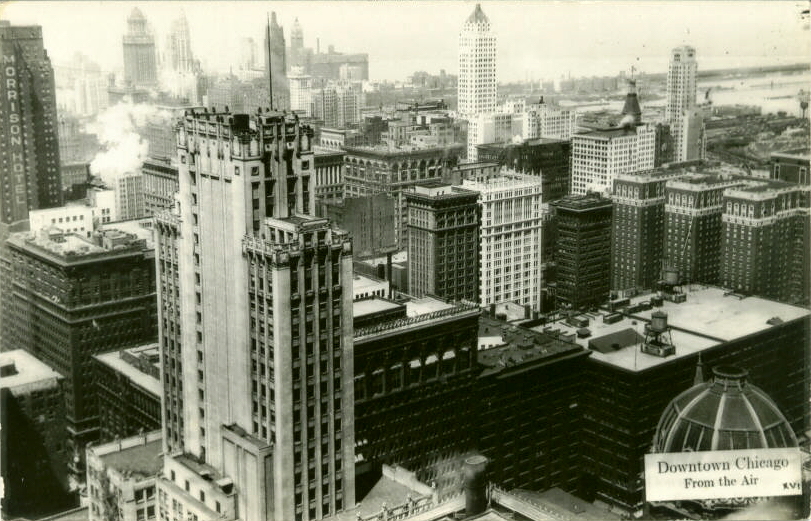
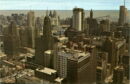
Downtown Chicago c. 1949
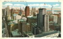
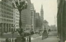
Downtown Chicago
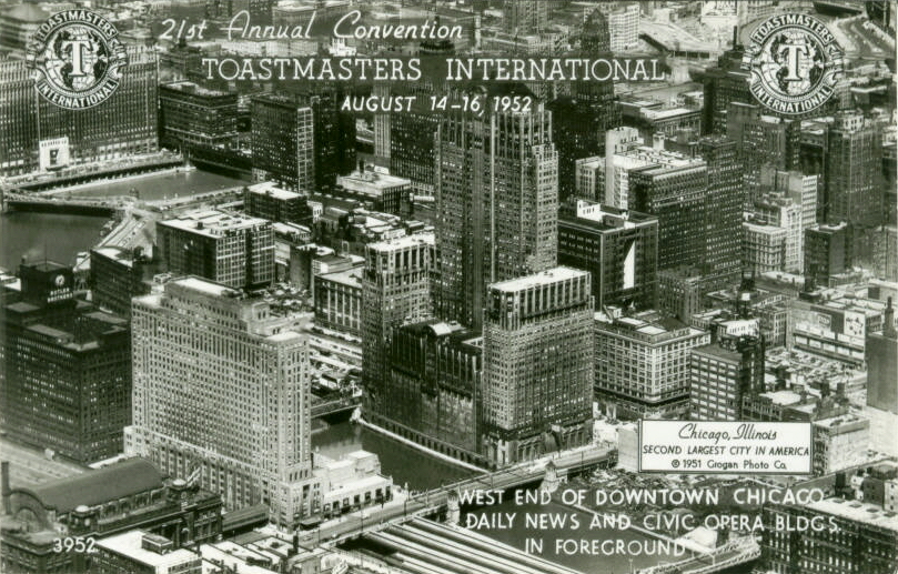
West End Of Downtown
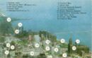
Downtown map
East from Kemper Building
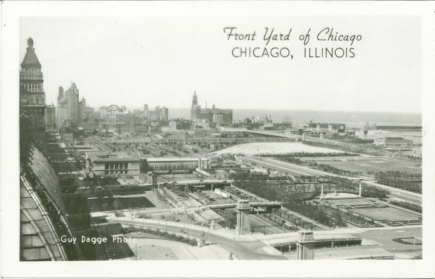
Front Yard of Chicago
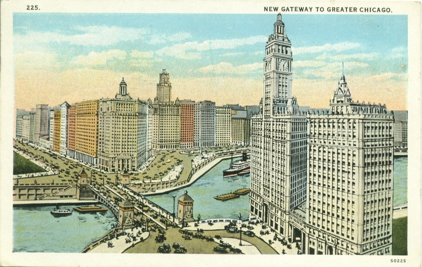
Gateway to Greater Chicago c. 1927
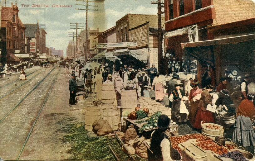
Ghetto Food Market
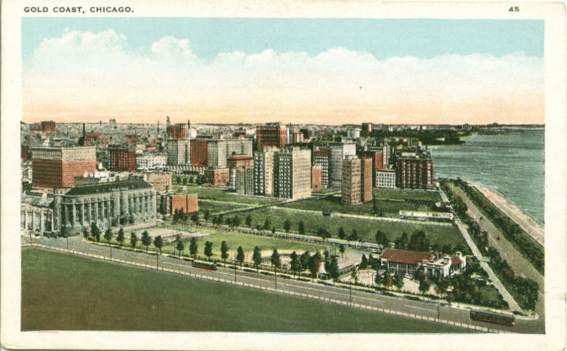
Gold Coast
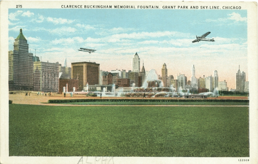
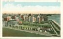
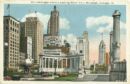
Grant Park Skyline and Grant Park
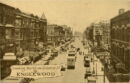
Looking North on Halsted in Englewood
Halsted & 42nd Streets

South Halsted North of W. 63rd St., c.1915
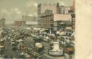
Haymarket Square c. 1909
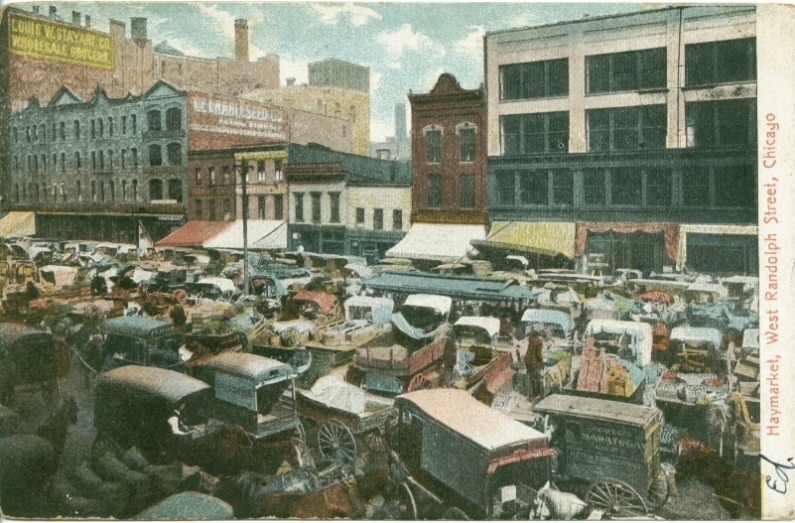
Haymarket, Railton Wholesale Grocers
Haymarket c. 1906
The Haymarket c. 1905
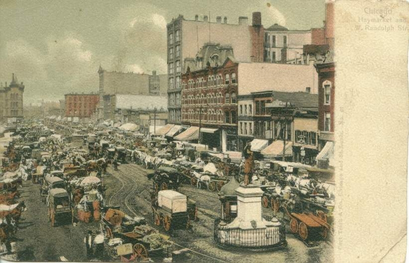
Haymarket, West Randolph c. 1908
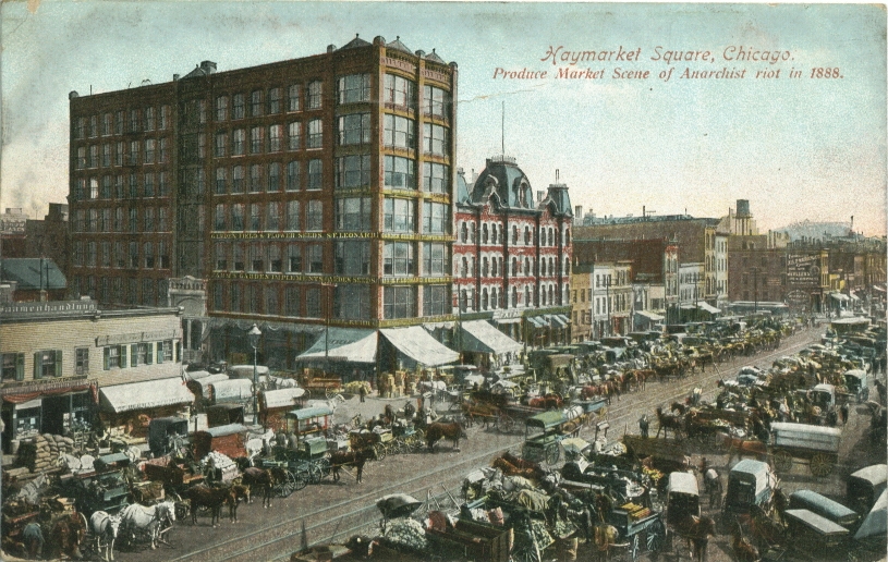
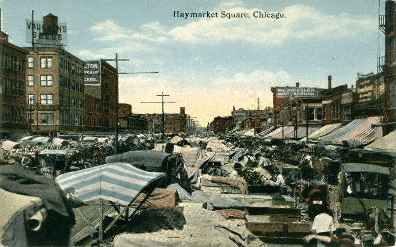
Haymarket Square
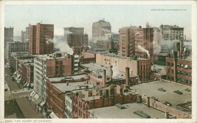
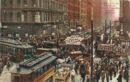
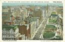
The Heart of Chicago
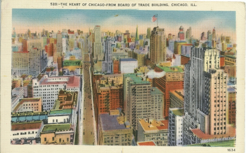
Heart of Chicago from Board of Trade Building c. 1942
Heart of Chicago
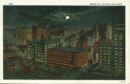
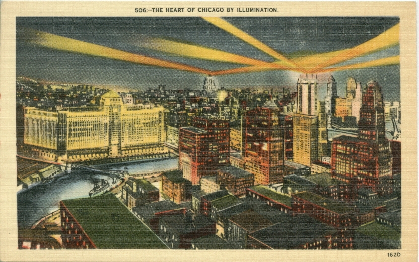
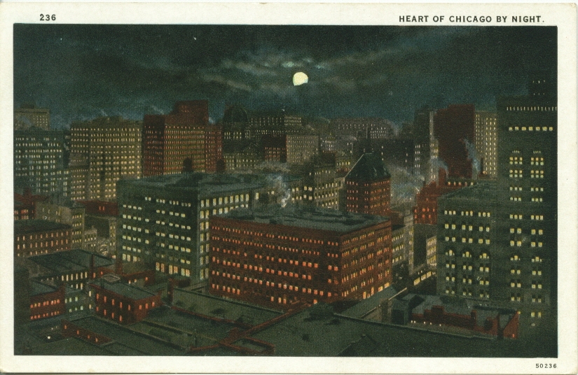
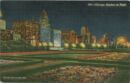
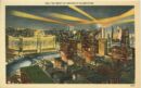
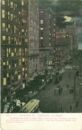
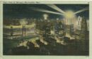
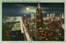
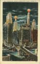
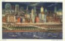
Heart of Chicago by night
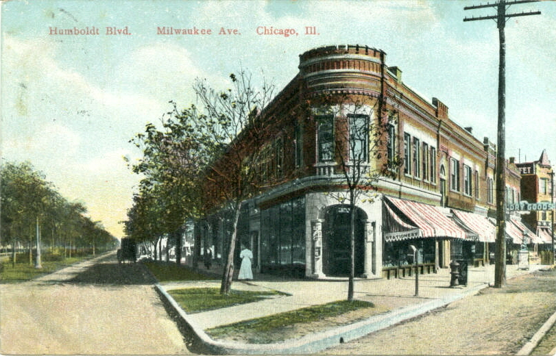
Humboldt Blvd & Milwaukee Ave, c.1910
Jackson Blvd. looking west

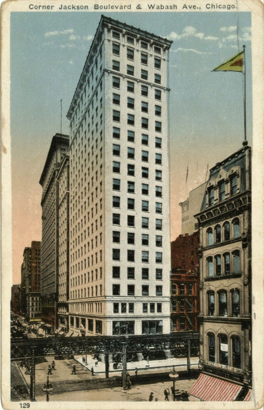
Jackson Blvd & Wabash Ave., c.1919
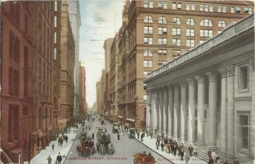
La Salle St c. 1910
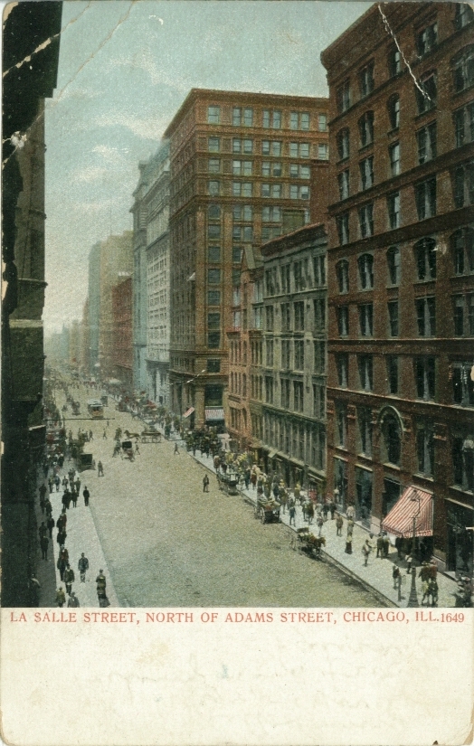
La Salle St north of Adams c. 1908
La Salle St north from Jackson Blvd, c.1916
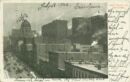
La Salle St., entrance to train tunnel c. 1908
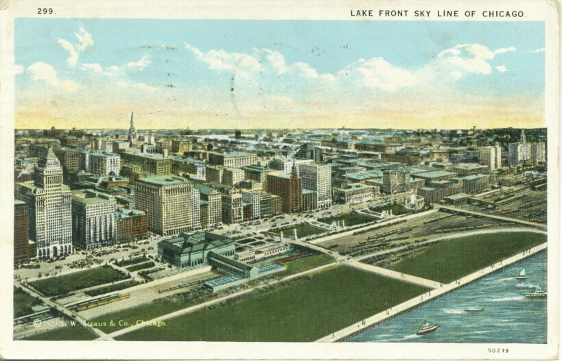
Lake Front Skyline c. 1928
South From The Prudential Building, on Michigan Ave.
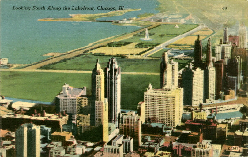
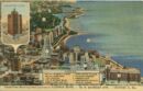
Looking south along the lakefront
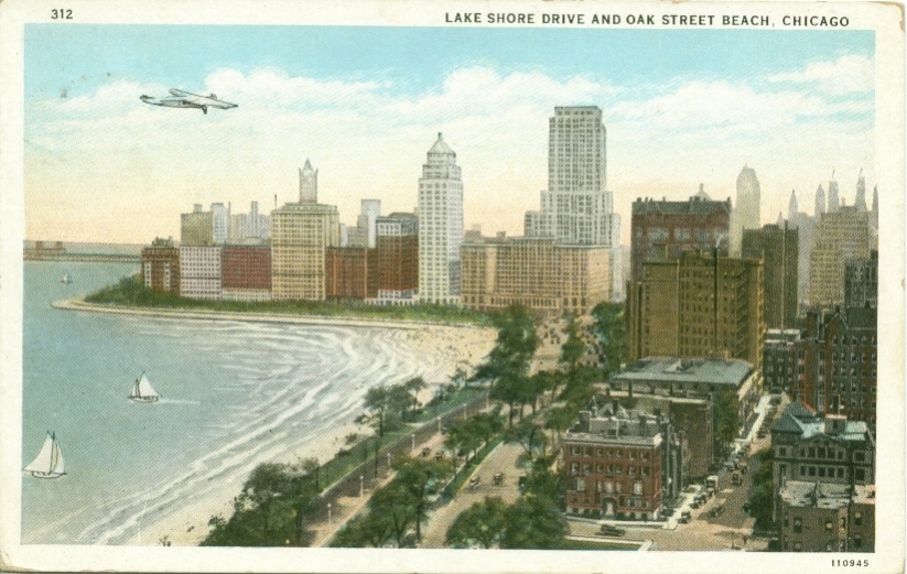
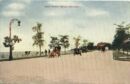
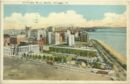
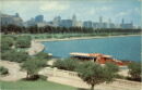
Lake Shore Drive & Oak Street Beach
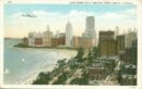
Lake Shore Drive & Oak Street Beach
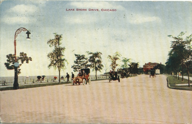
Lake Shore Drive
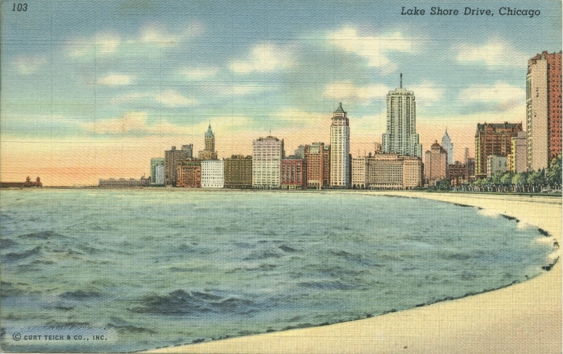
Lake Shore Drive

Lake Shore Drive c. 1941
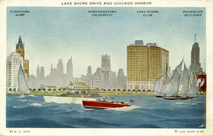
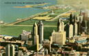
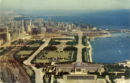
Lake Shore Drive & Chicago Harbor
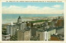
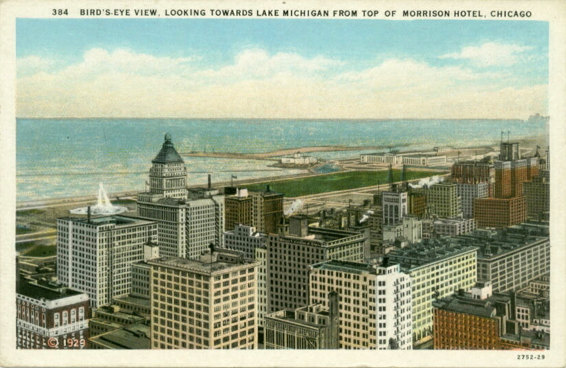
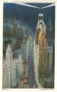
Birds Eye View To Lake From Morrison Hotel
Looking East Over The Lake From Board of Trade
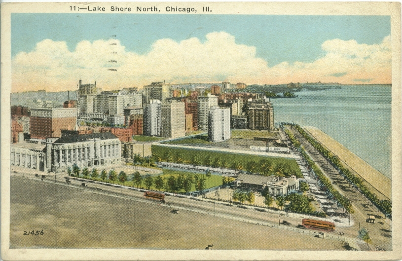
Lake Shore North c. 1930
Lake Shore Drive
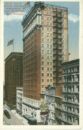
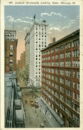
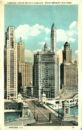
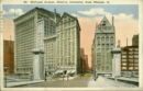
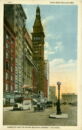
Lasalle Street showing the Field Building
La Salle St. north from Madison
Lincoln Belmont District
Logan Square Business District

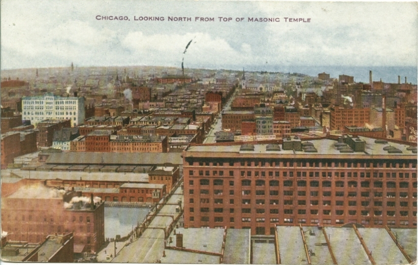
Looking north from Masonic Temple c. 1909
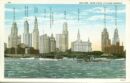
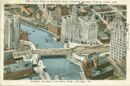
Chicago Loop, River, and Lake Michigan c. 1940
Chicago Loop, River, and Lake Michigan c. 1936
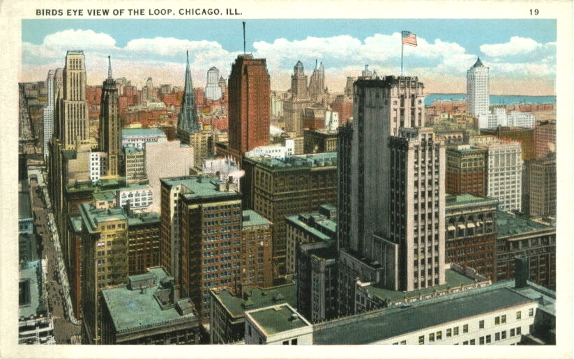
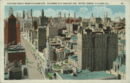
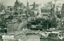
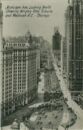
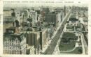
Bird's eye view of the loop
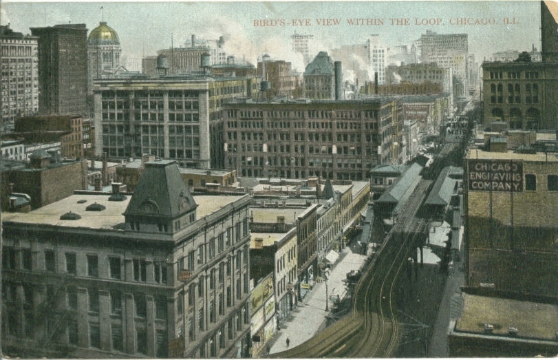
View within Loop
Madison and Crawford Aves.
Madison Street c. 1908
Madison Street east from 5th Avenue c. 1910
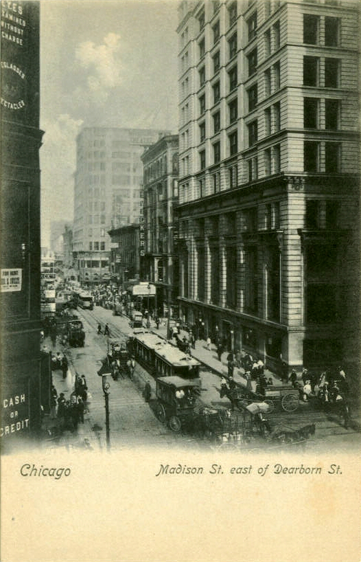
Madison St east of Dearborn St.
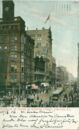
Madison Street east from State Street c. 1908
Madison Street west from State Street
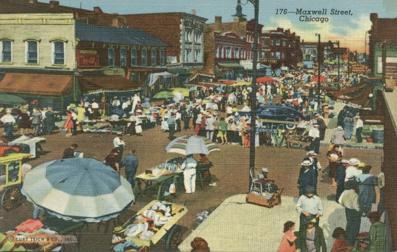
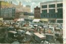
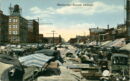
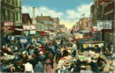
Maxwell Street

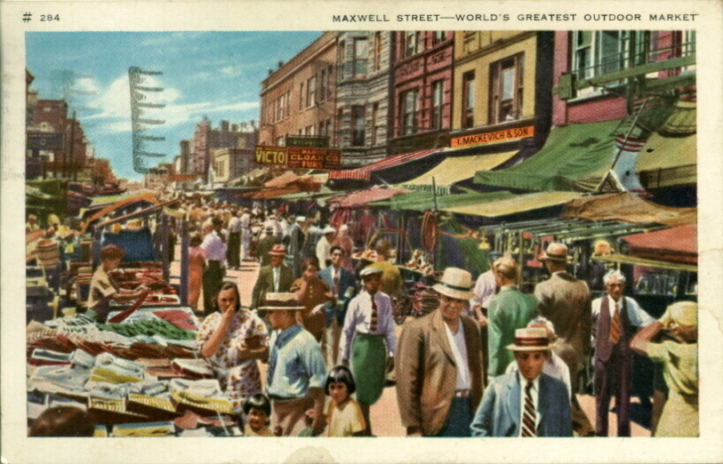
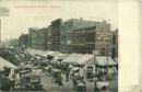
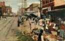
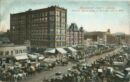
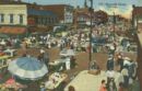
Maxwell Street Market c. 1940
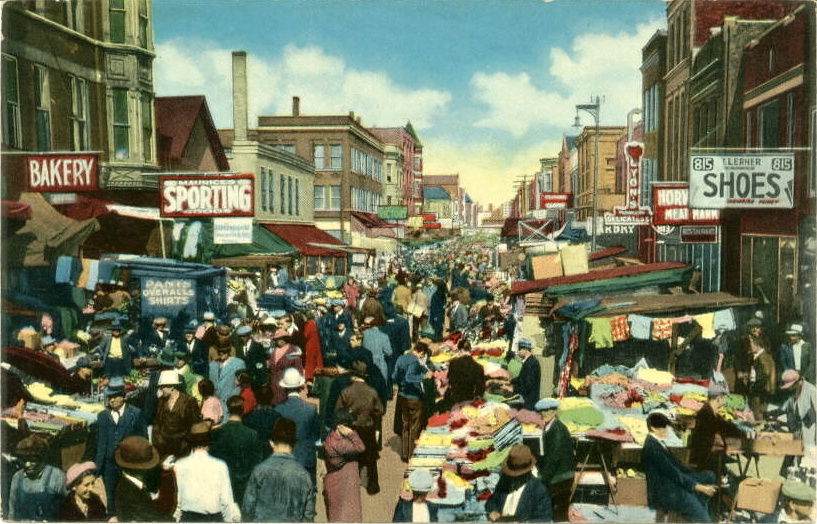
Maxwell St. Market
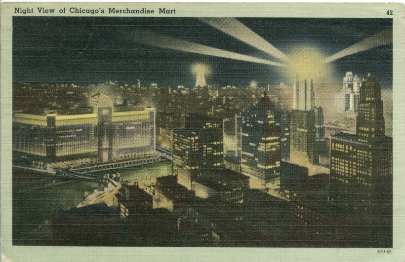
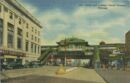
Merchandise Mart c. 1945
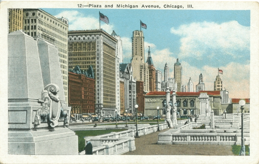
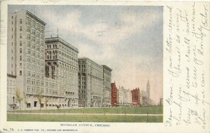
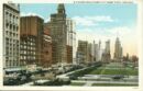
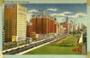
Michigan Avenue
Michigan Avenue c. 1926
Michigan Avenue c. 1912
Michigan Avenue c. 1909
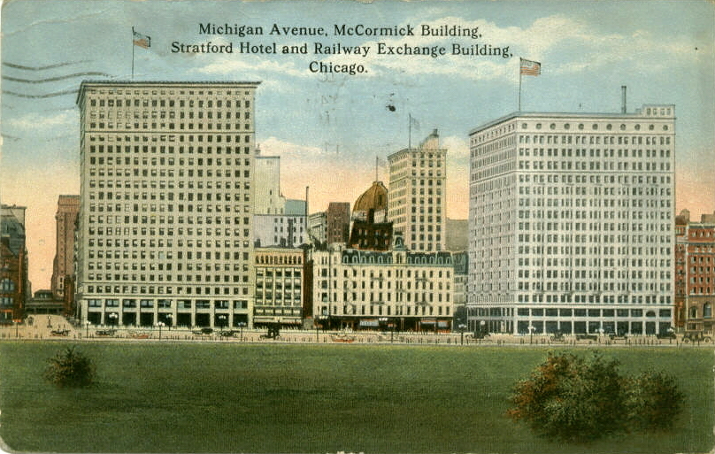
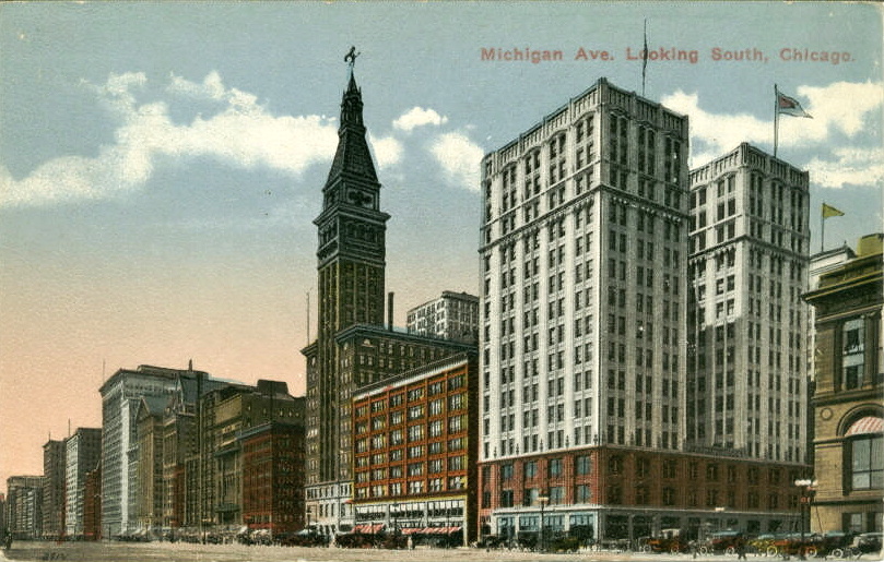
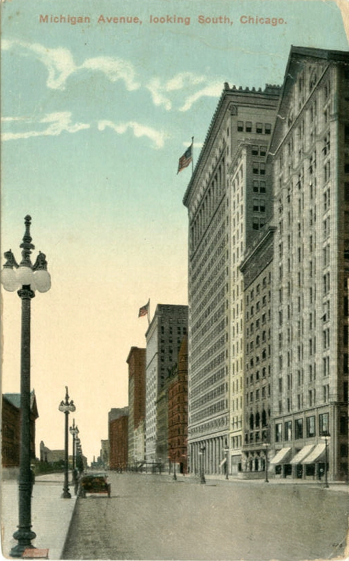
Michigan Avenue c. 1908
Michigan Ave. & 111th St., Roseland
Michigan Avenue at Congress Street
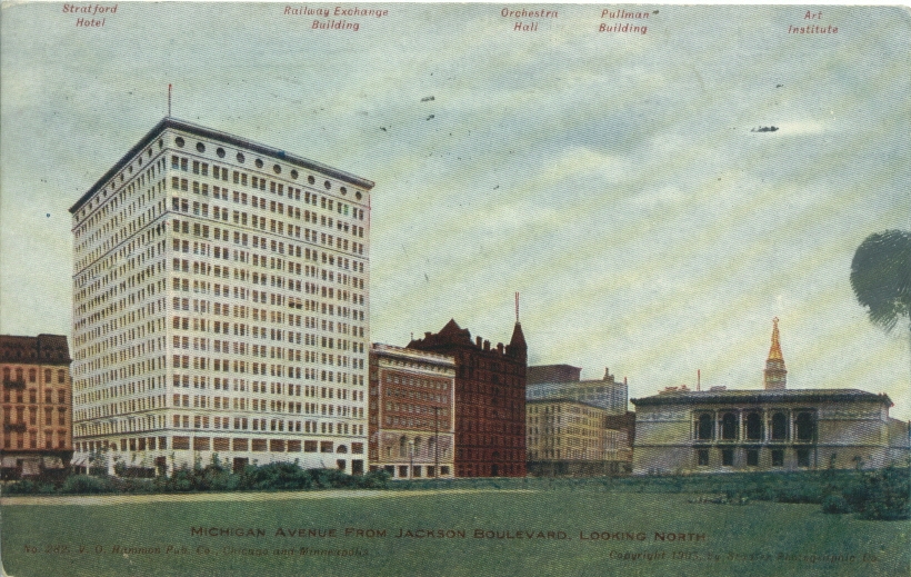
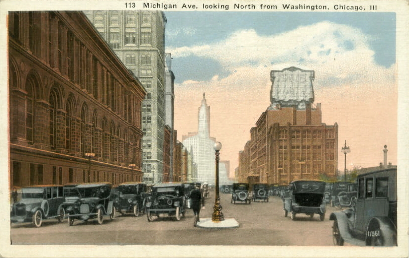
Michigan Avenue north from Jackson c. 1907
Michigan Avenue buildings, c.1917
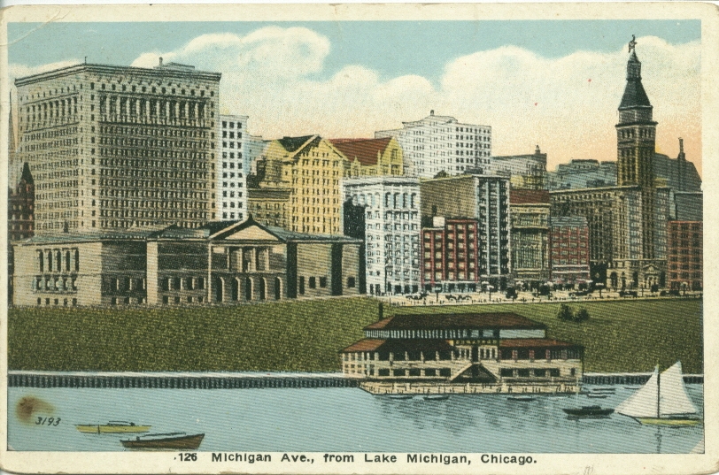
Michigan Avenue from Lake Michigan c. 1920
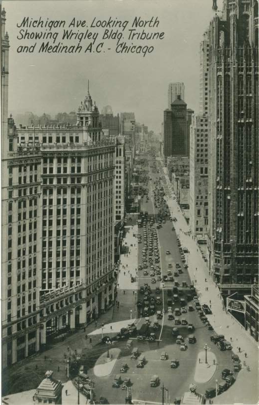
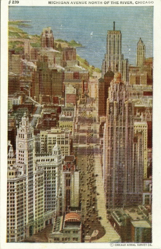
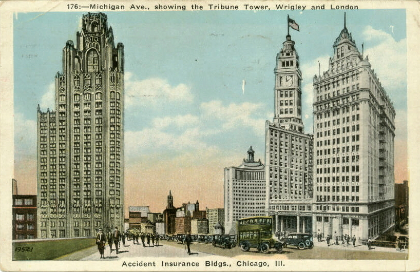
Michigan Avenue looking north, Wrigley and Medinah A,. C.
Michigan Avenue north from 26th Street
Michigan Avenue north from the Auditorium Annex c. 1910
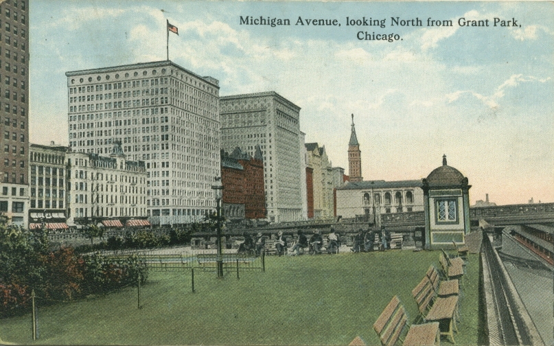
Michigan Avenue north from Grant Park
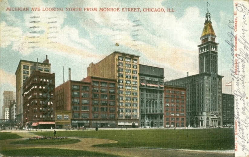
Michigan Avenue north from Monroe c. 1906
Michigan Avenue north from Monroe c. 1908
Michigan Avenue north from Ohio Street
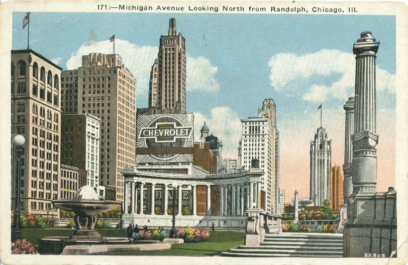
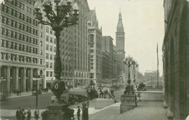
Michigan Avenue north from Randolph
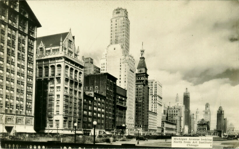
Michigan Avenue north from the Art Institute
Michigan Avenue north from the Art Institute
Michigan Avenue north from the Stevens Hotel c. 1936
Michigan Avenue north from Lake Street c. 1939

Michigan Avenue north from the River
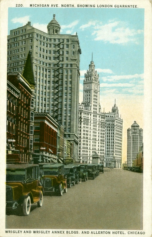
Michigan Avenue north, London Guarantee & Wrigley buildings
Michigan Avenue north
Michigan Avenue south from Chicago Avenue c. 1949
Looking south on Michigan Ave., c.1945

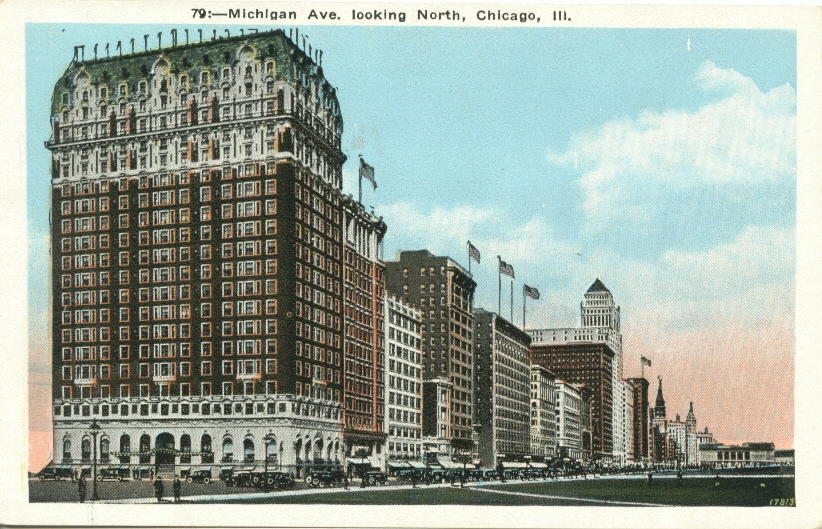
Michigan ave. looking south
Michigan Avenue south of 28th Street c. 1907
Michigan Avenue c. 1909

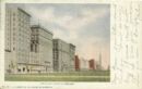
Michigan Avenue
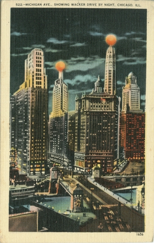
Michigan Avenue showing Wacker Drive c. 1942
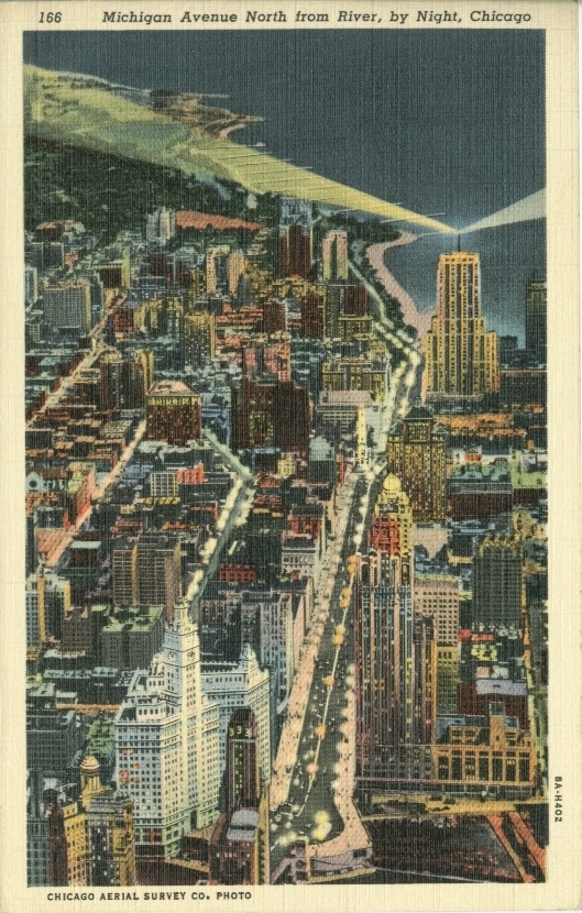
Michigan Avenue c. 1908
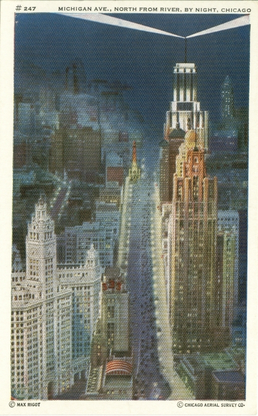
Michigan Avenue north from the River c. 1942
Michigan Avenue north from the River
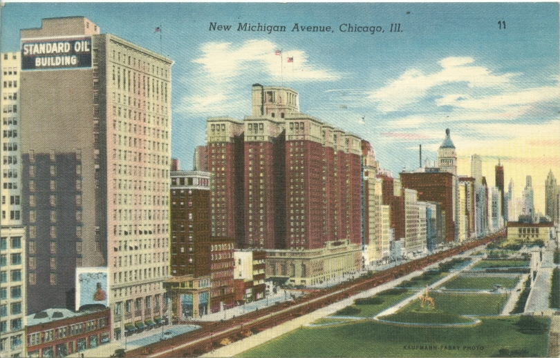
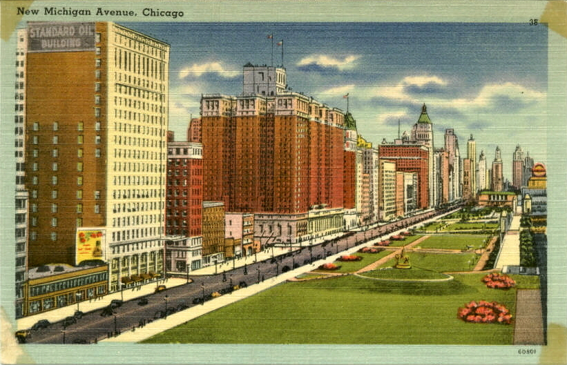
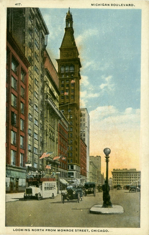
Michigan Boulevard
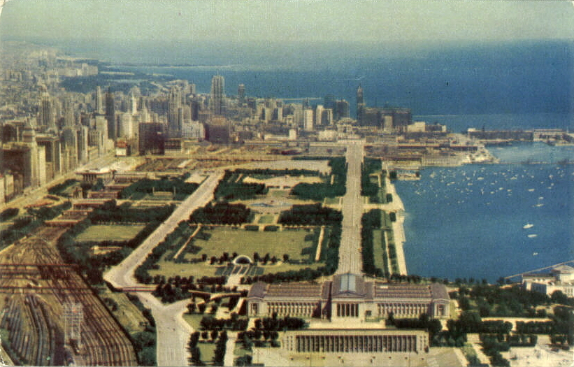
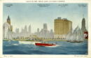
Skyline From Shedd aquarium
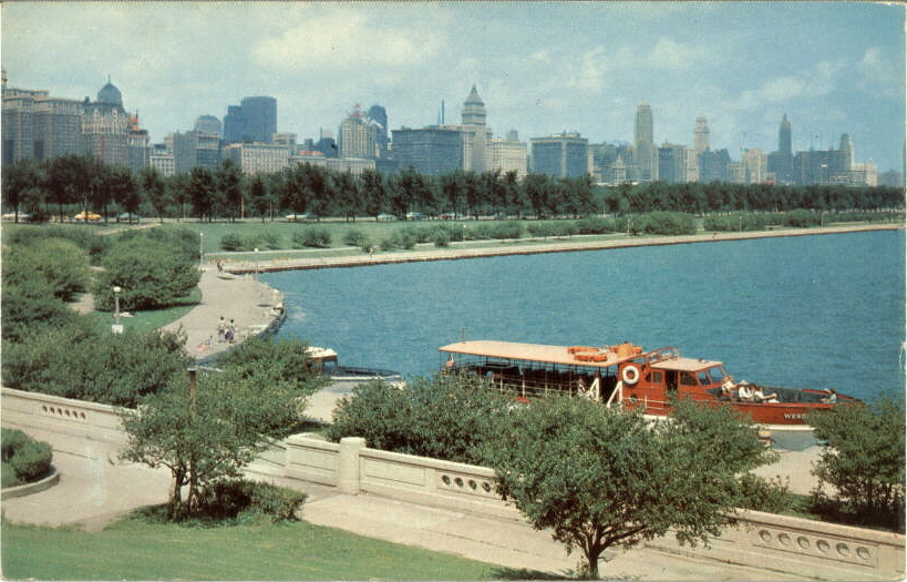
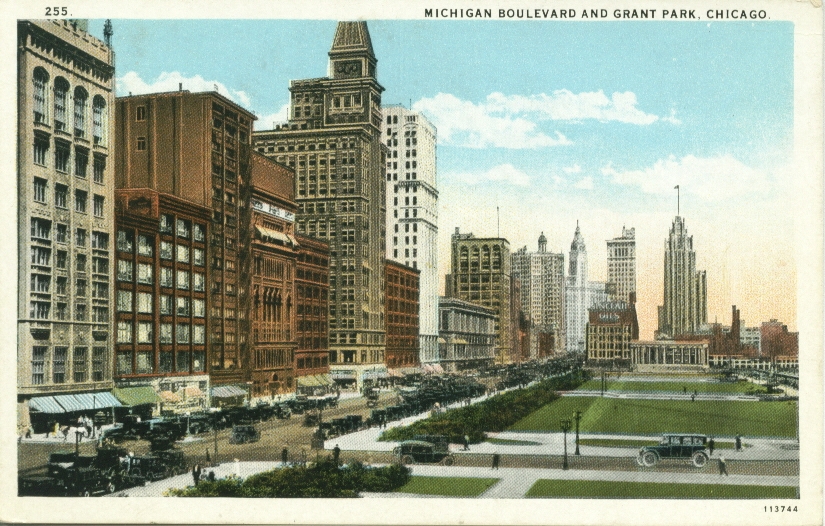
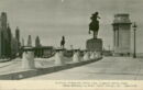
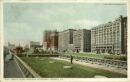
Michigan Boulevard and Grant Park
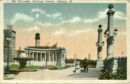
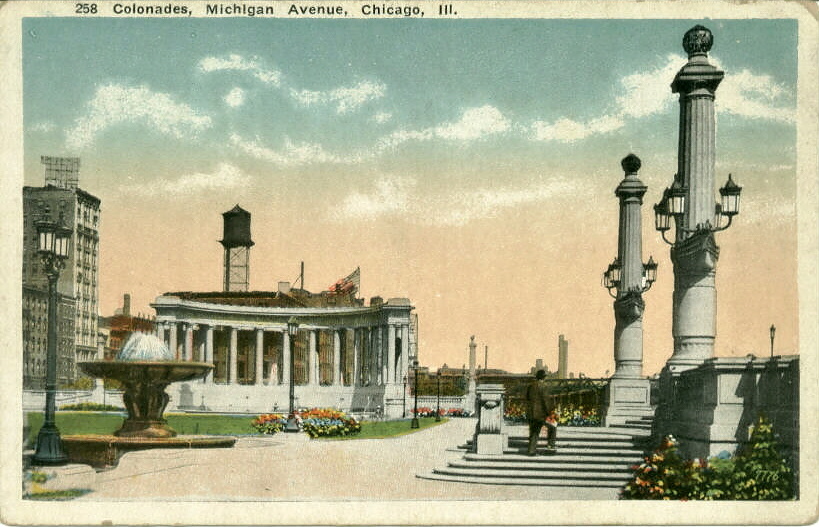
Michigan Ave Colonades

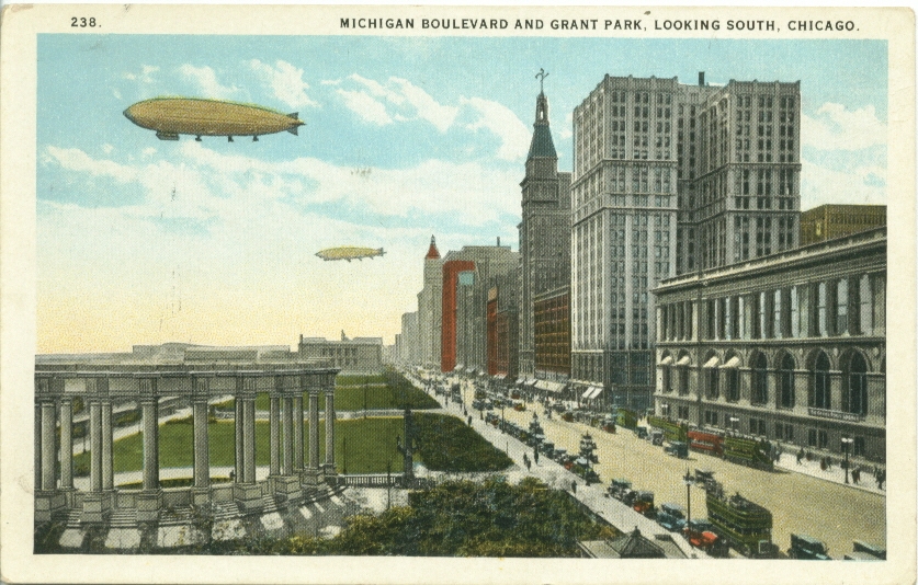
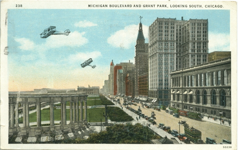
Michigan Boulevard and Grant Park
Michigan Avenue and Grant Park c. 1927
Michigan Ave Looking South
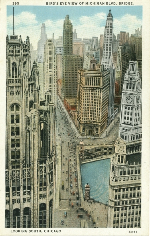
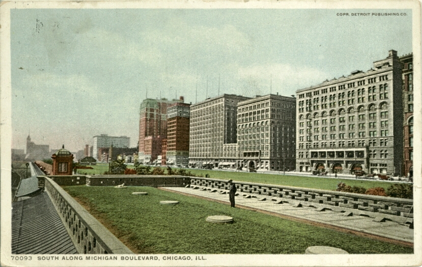
Michigan Boulevard Bridge, looking south
Michigan Ave and buildings
South From The Prudential Building
Looking North on Michigan
Looking south on Michigan Ave from the Wrigley Building, c.1932
Michigan Boulevard looking south c. 1924
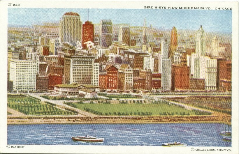
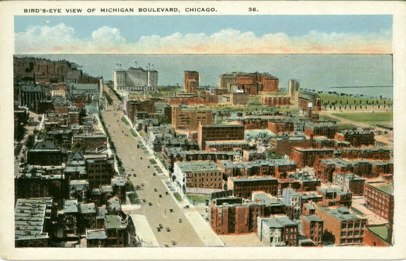
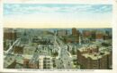
Birds Eye View of Michigan Blvd
Michigan Boulevard looking north
Michigan Boulevard looking north c. 1923
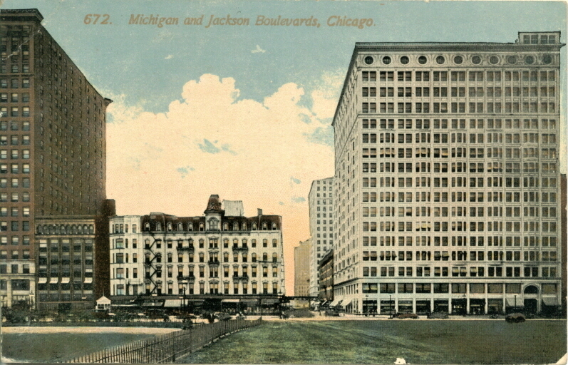
Michigan and Jackson Boulevards c. 1914
Michigan Avenue north c. 1927
Michigan Avenue north from the Art Institute c. 1926
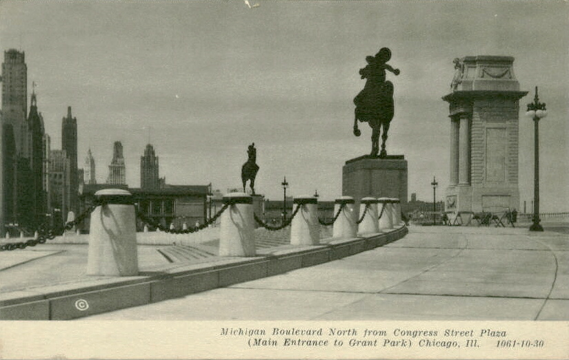
Michigan Blvd North From Congress St. Plaza
Michigan Avenue showing University Club
Michigan Avenue north from the River c. 1949
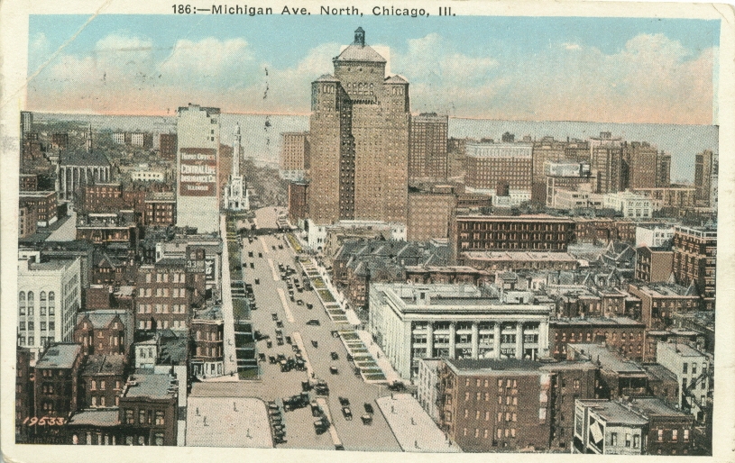
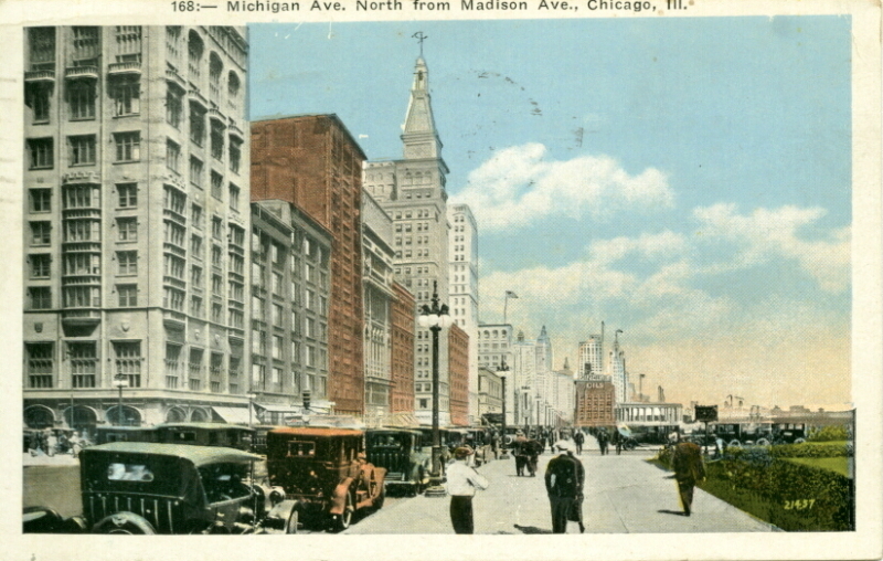
Michigan Avenue north from Madison Avenue c. 1925
Michigan Avenue north from Washington
Michigan Avenue c.1954
Michigan Avenue
Michigan Avenue and Wacker Drive
Michigan Boulevard looking south
Michigan Boulevard night scene
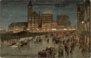
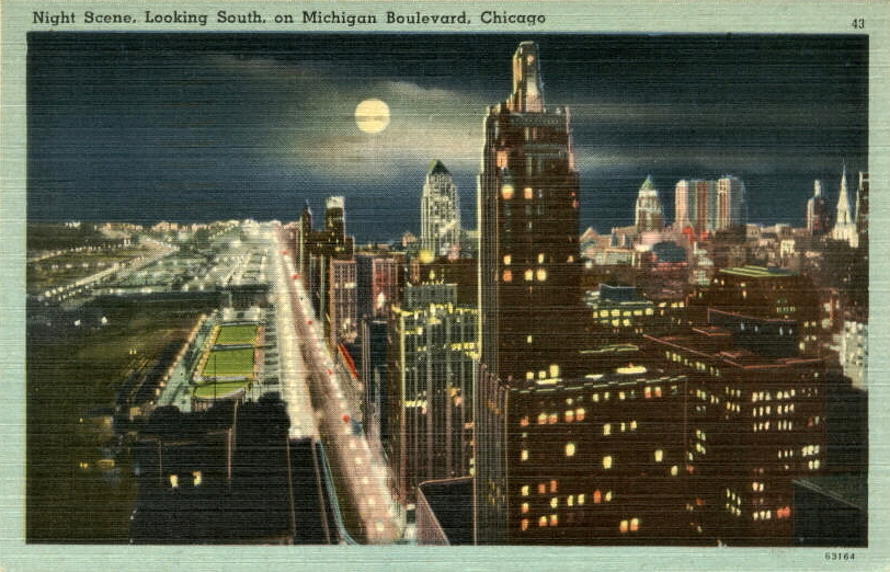
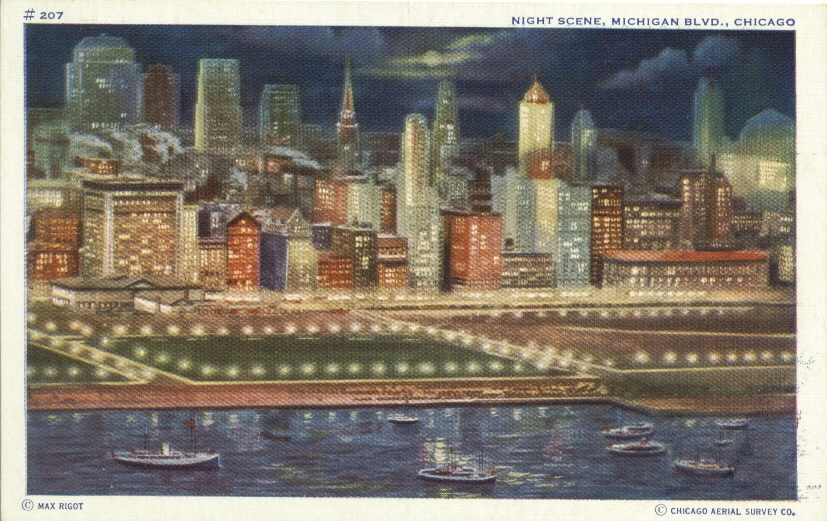
Michigan Boulevard at night
Michigan Boulevard north from Monroe Street

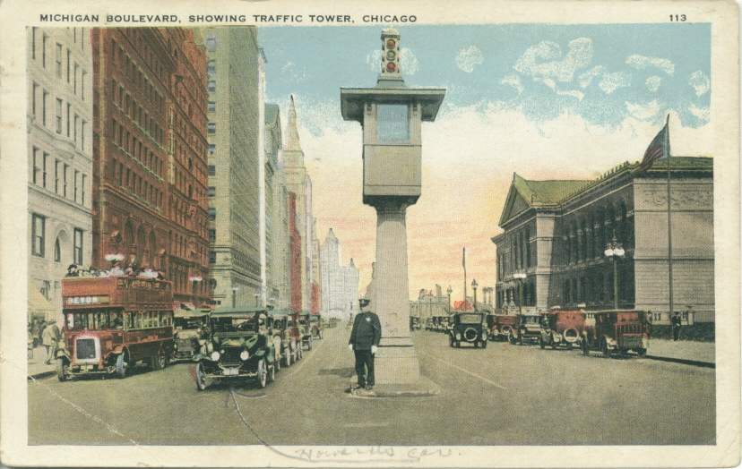
Michigan Boulevard Traffic Tower c. 1924
Michigan Boulevard looking north
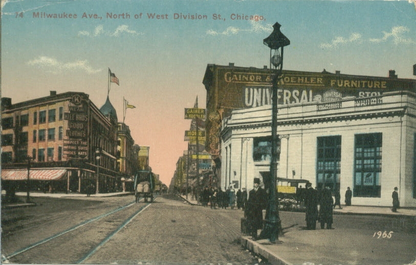
Milwaukee Avenue north of West Division St

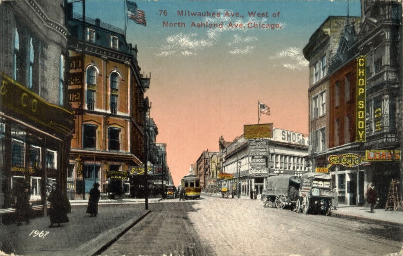
Milwaukee Ave. west of North Ashland Ave., c.1919
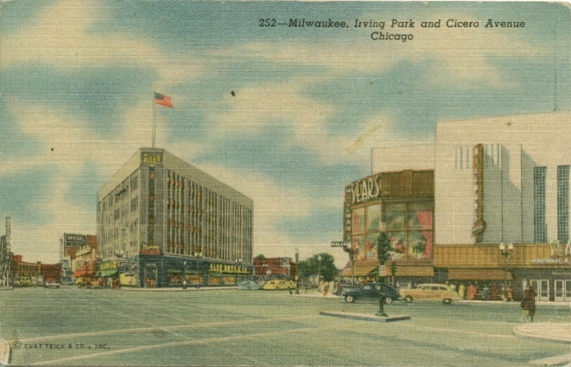
Milwaukee, Irving Park, and Cicero Aves.
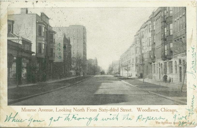
Monroe Avenue north from 63rd Street c. 1906
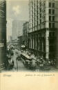
Monroe Street east from La Salle c. 1910

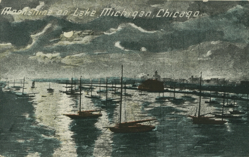
Moon on Lake
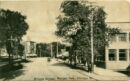
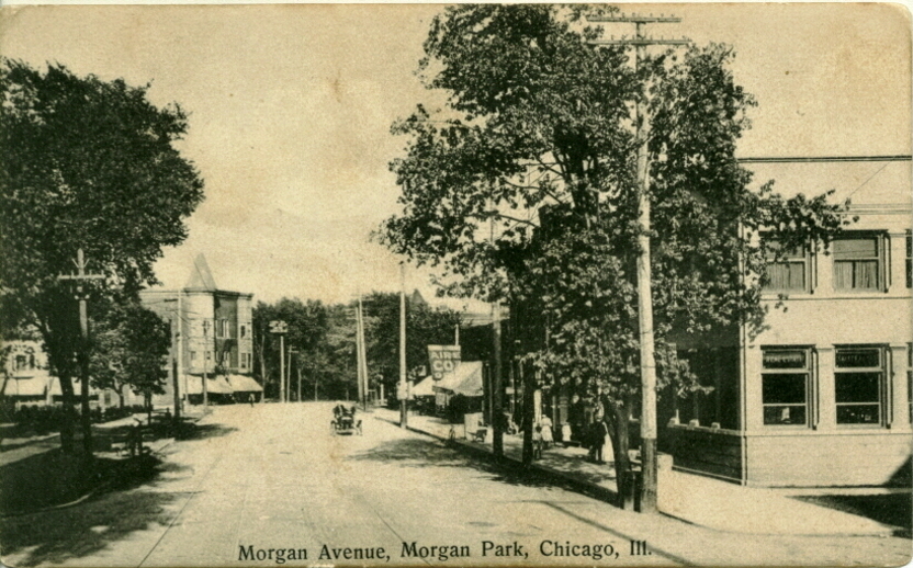
Morgan Avenue, Morgan Park c. 1908